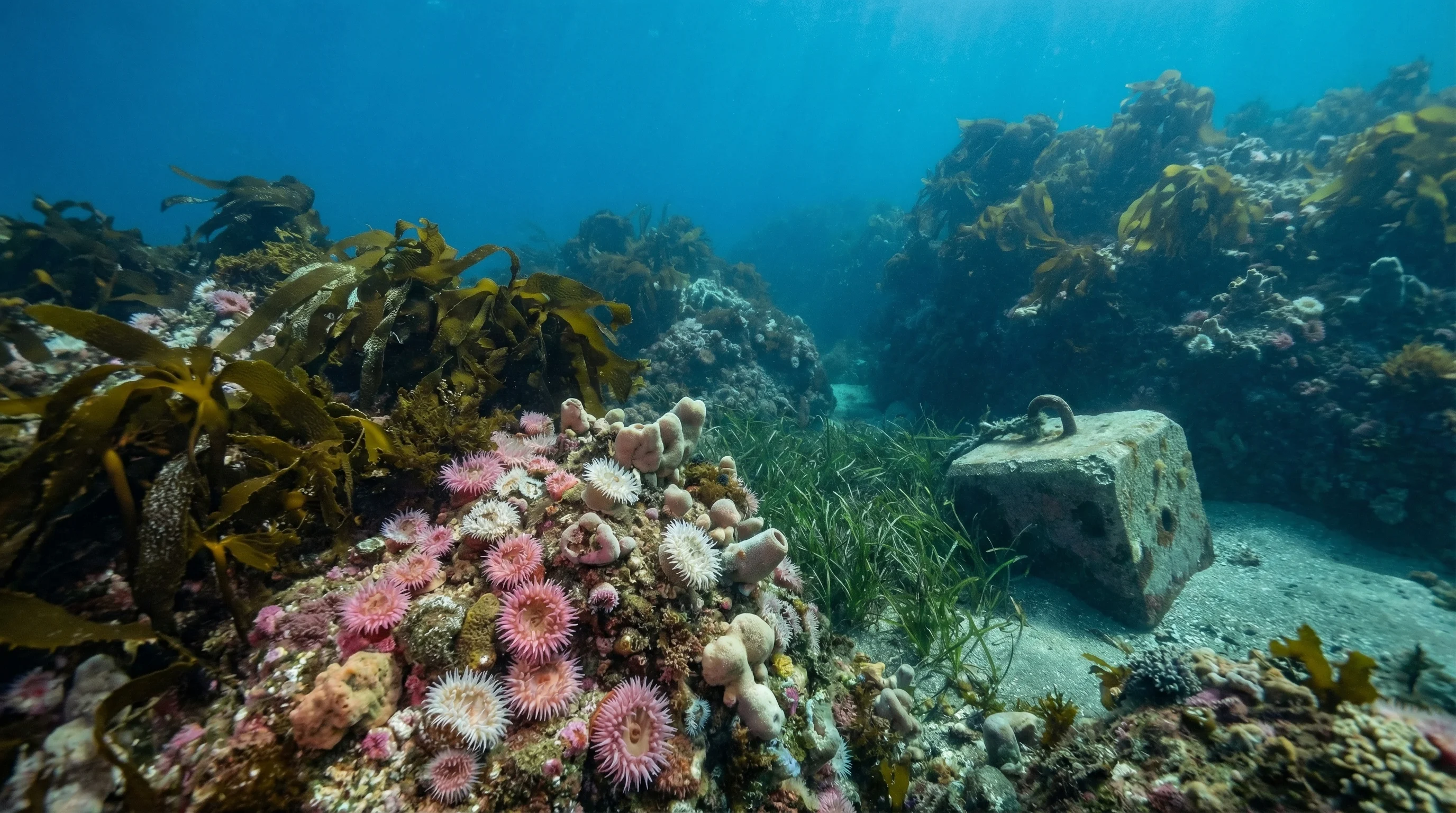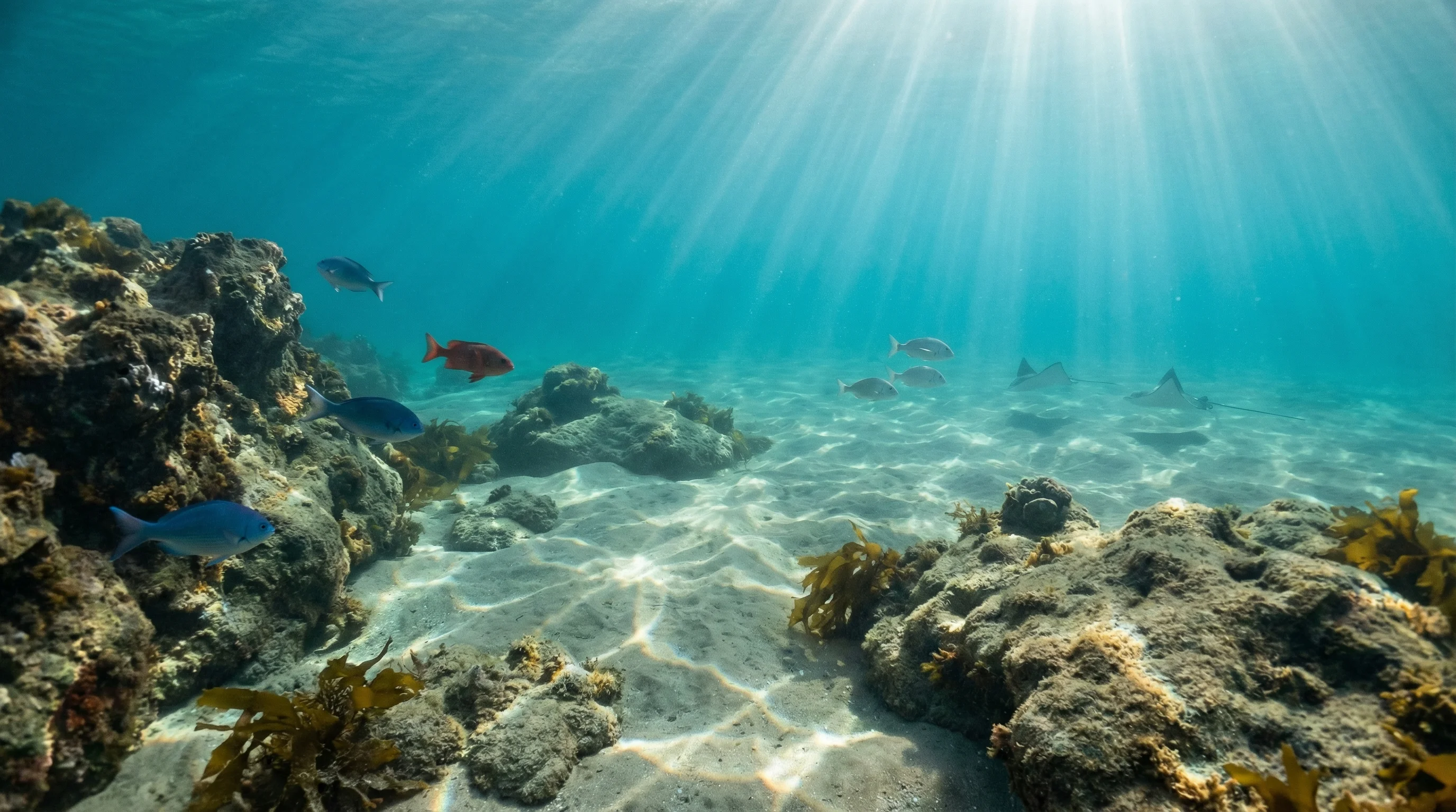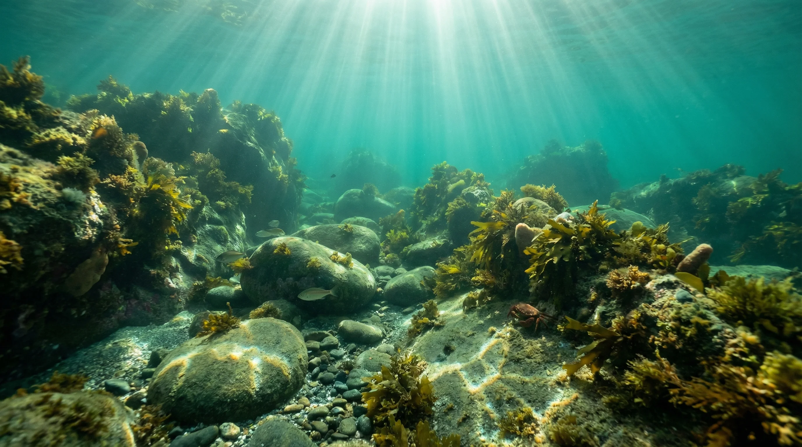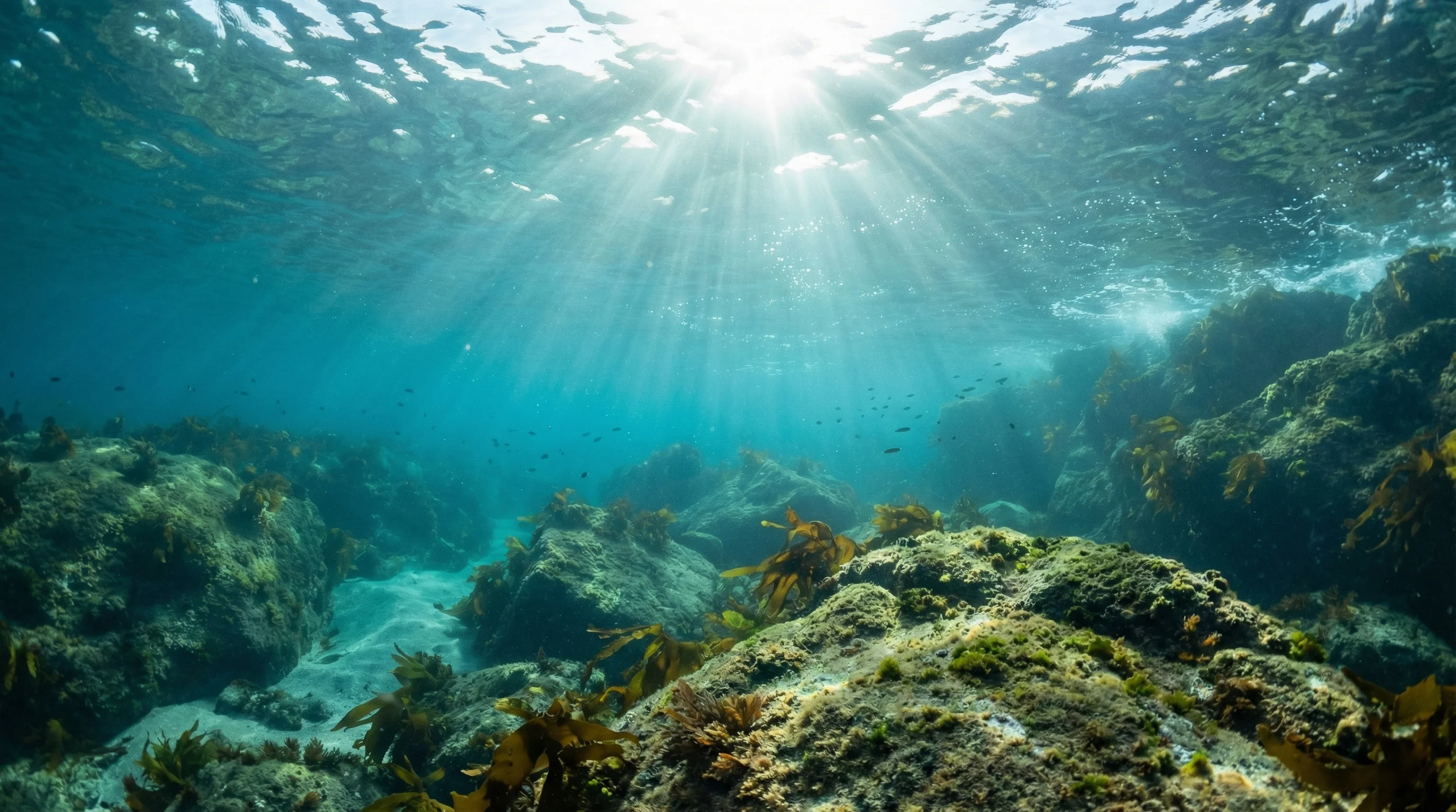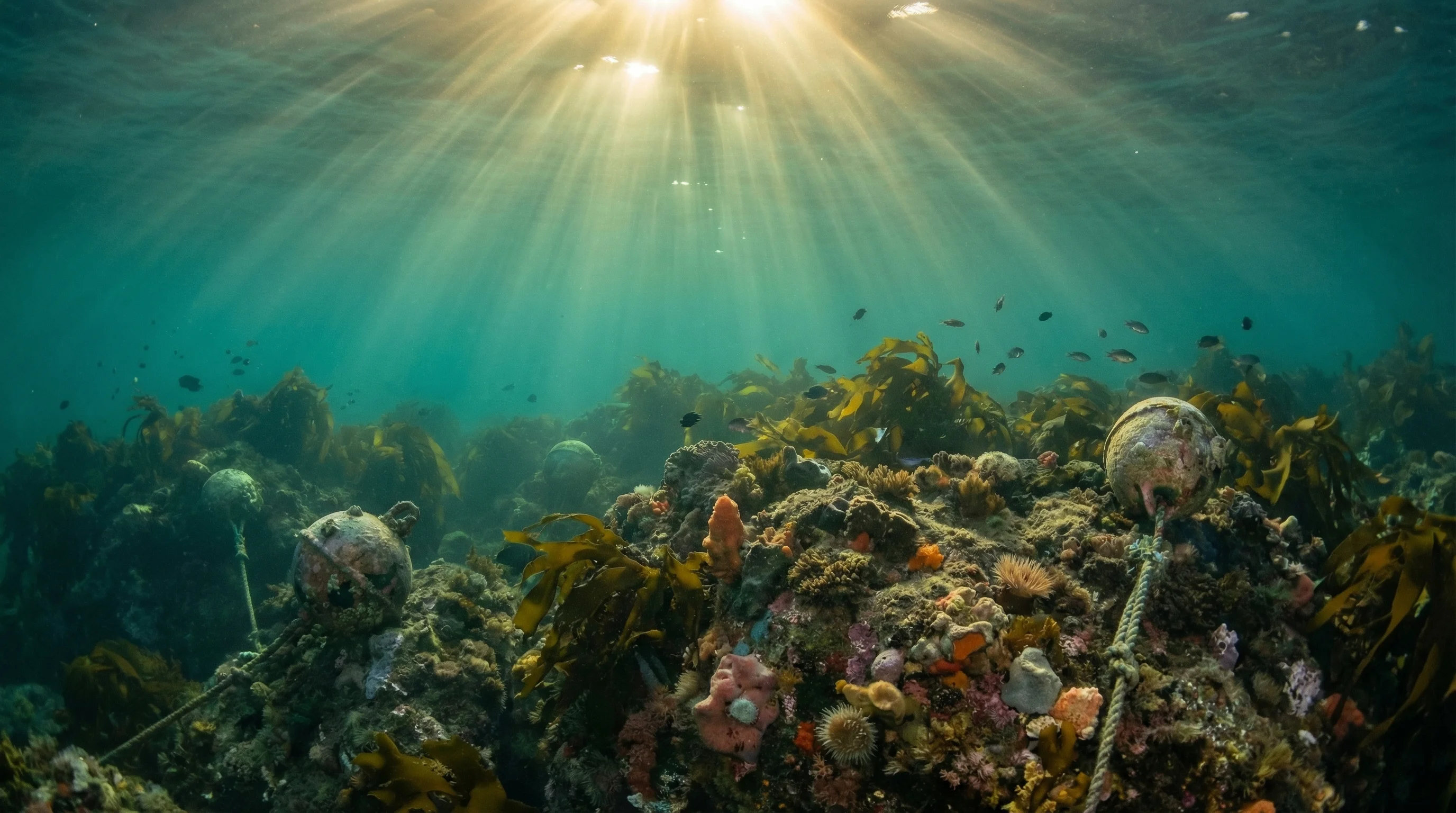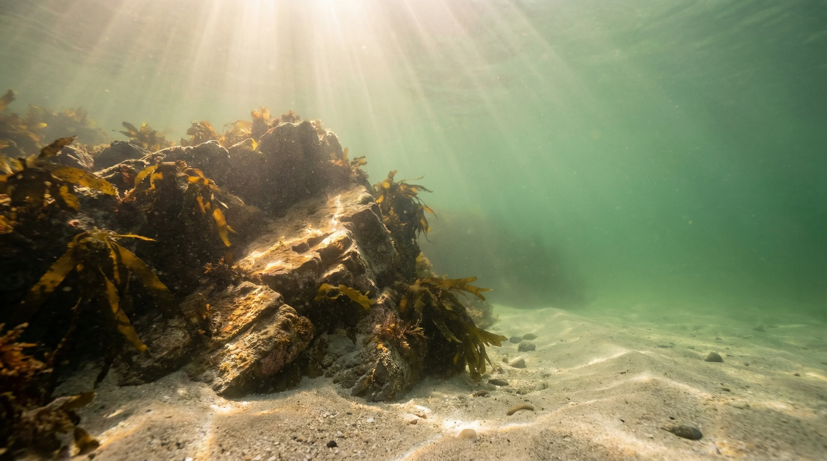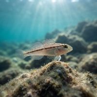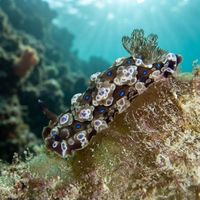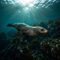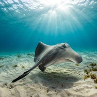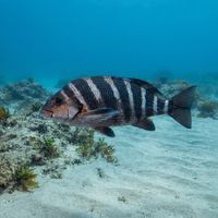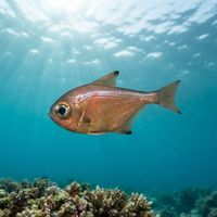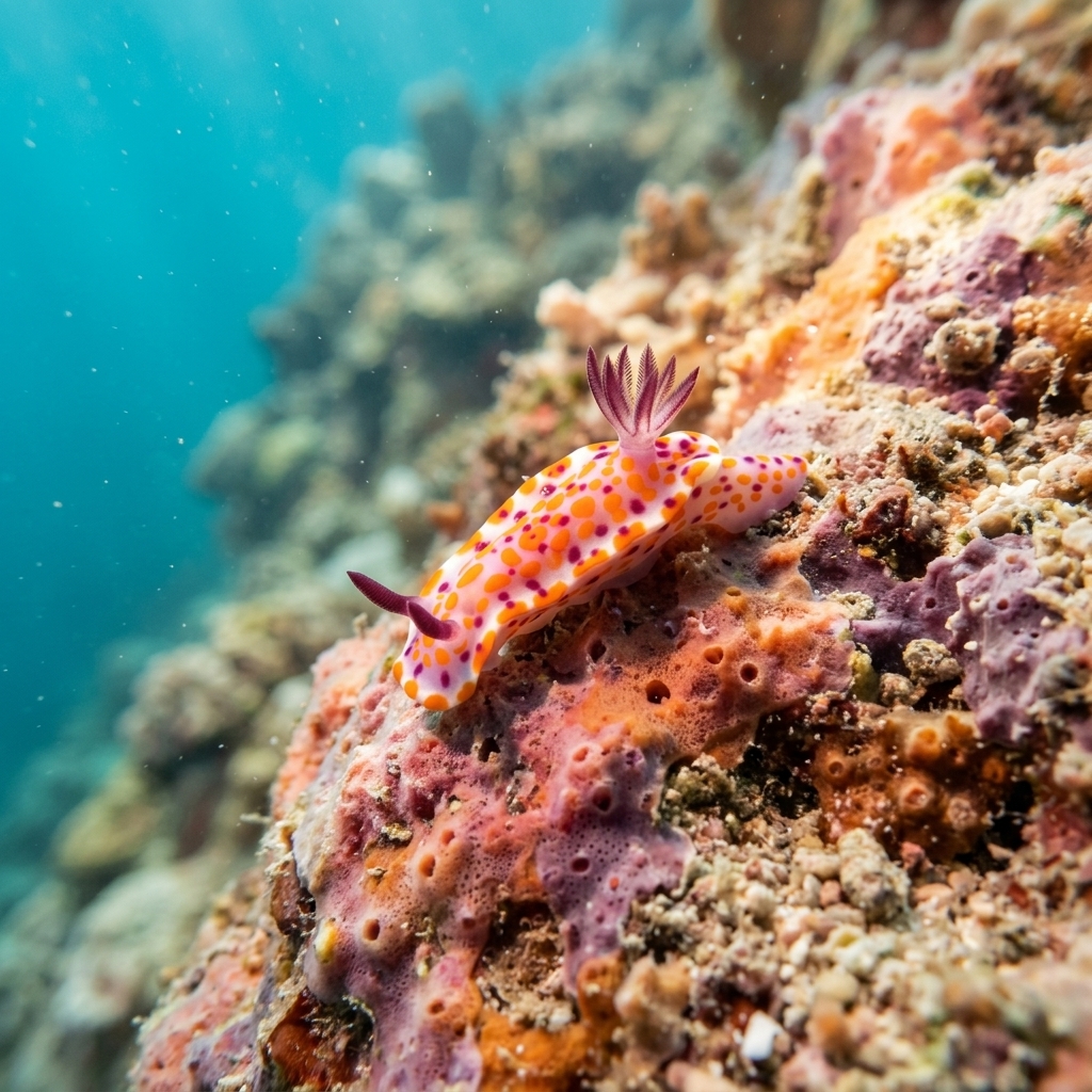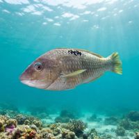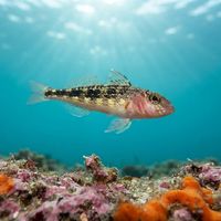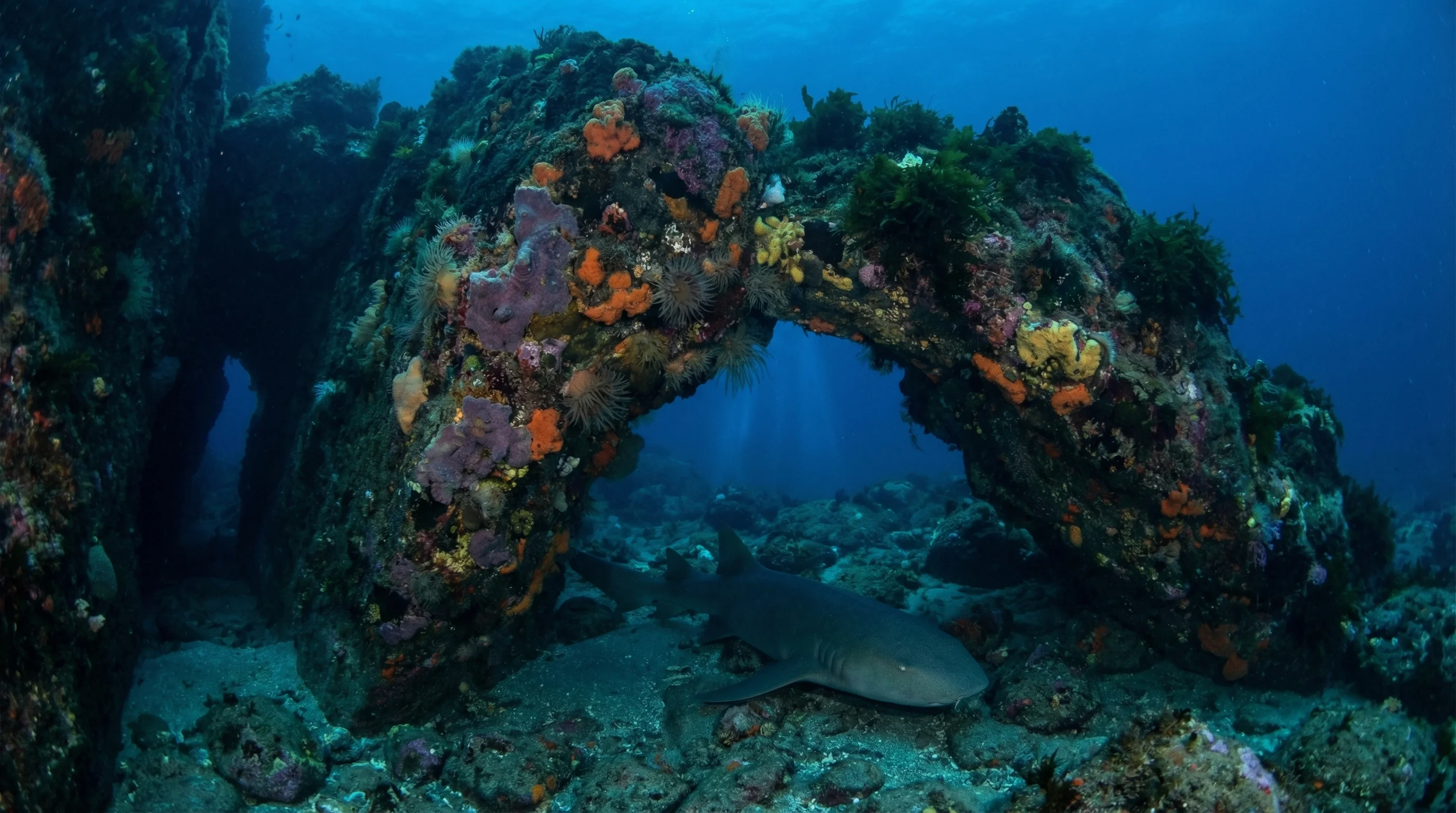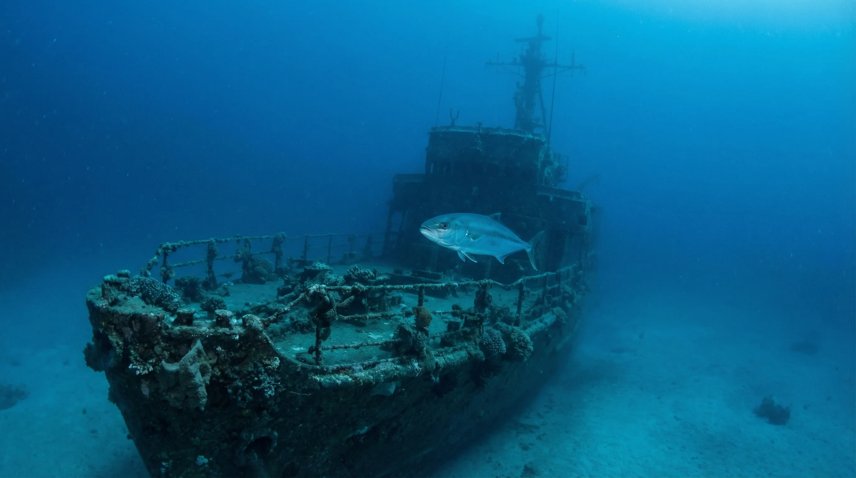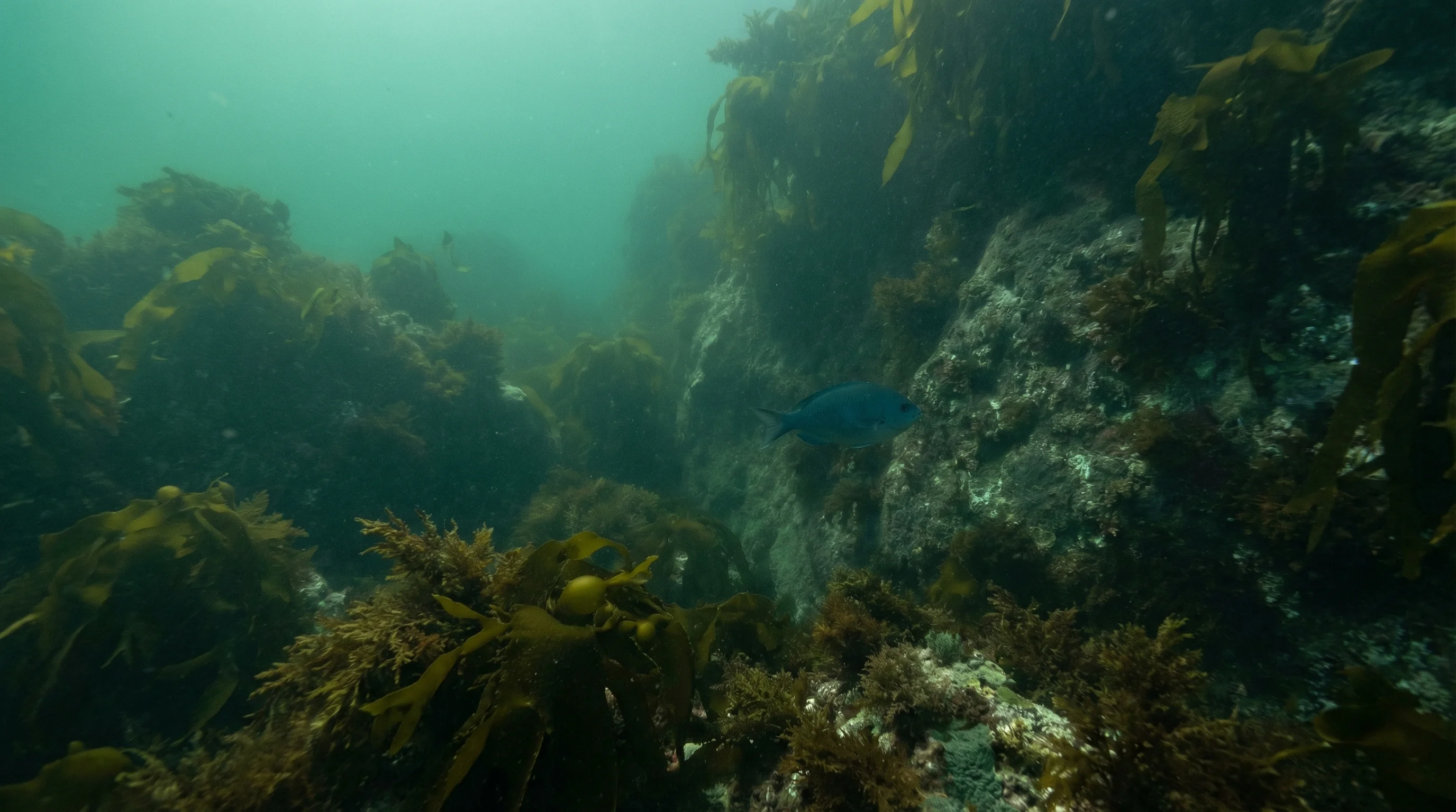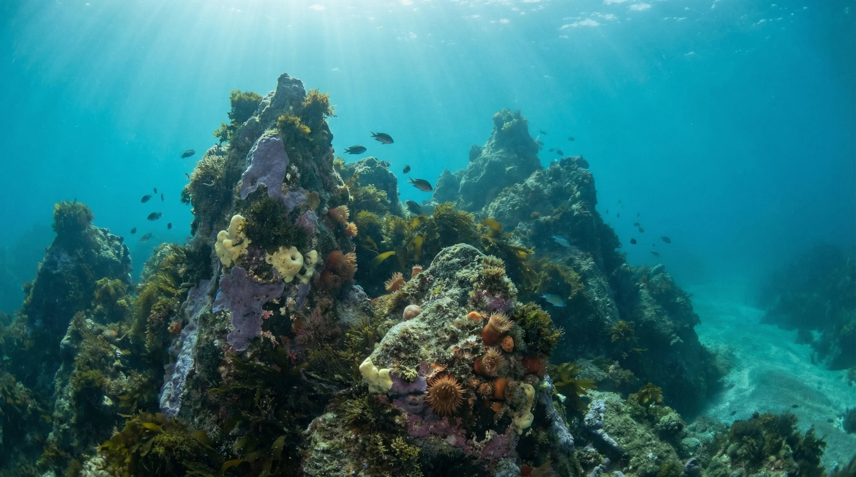
The Tutukaka Coast faces the South Pacific Ocean in Northland, and its six sites range from the sheltered Whangarei Harbour Marine Reserve at Reotahi to exposed reef and kelp forest terrain further along the coast. Sites are accessible from shore or by boat, with operators based in Ngunguru and Whangarei. The area is known as the launching point for the Poor Knights Islands marine reserve, though the sites currently in the database cover the coastal strip itself, including reef, seagrass, artificial reef, and kelp forest terrain. Water temperatures are warmest in late summer and drop to their lowest from mid-winter into early spring. Visibility can exceed thirty metres in winter.
Monthly water temperature across Tutukaka Coast's sites, from satellite sea-surface data corrected for depth. The band shows the site-to-site spread.
Winter brings the clearest water along this coast, with visibility capable of exceeding thirty metres, making the cooler months particularly rewarding despite lower temperatures. Summer offers warmer water and calmer surface conditions, which suits newer divers exploring the shallower shore-entry sites.
Water temperature around Tutukaka Coast ranges from about 15°C in August to 22°C in February, based on satellite sea-temperature data for its dive sites.
In the warm season (about 22°C) a 3mm full suit is comfortable in Tutukaka Coast; in the coldest months (about 15°C) step up to a 7mm or semi-dry suit.
Fin maps 6 sites in Tutukaka Coast (4 scuba diving sites and 4 snorkelling spots, with some suited to both).
6 more sites to explore