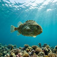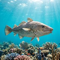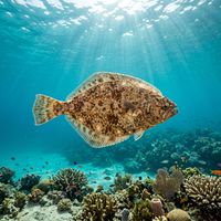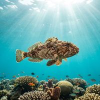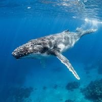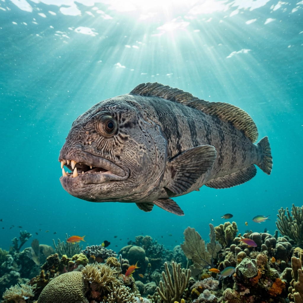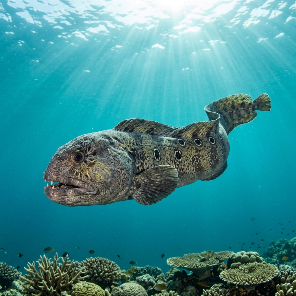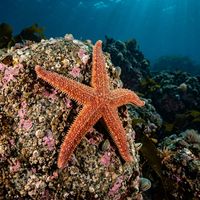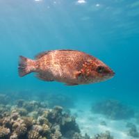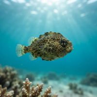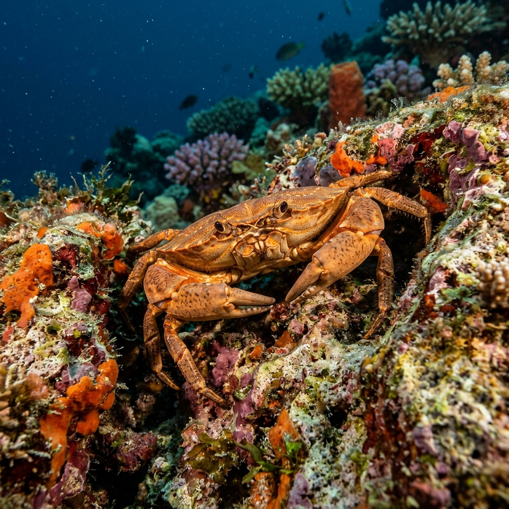
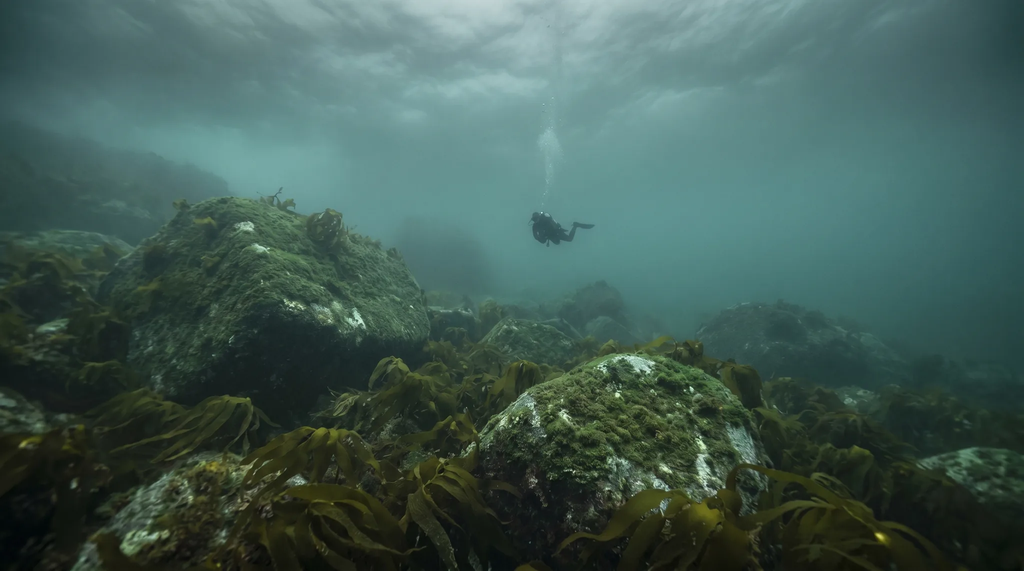
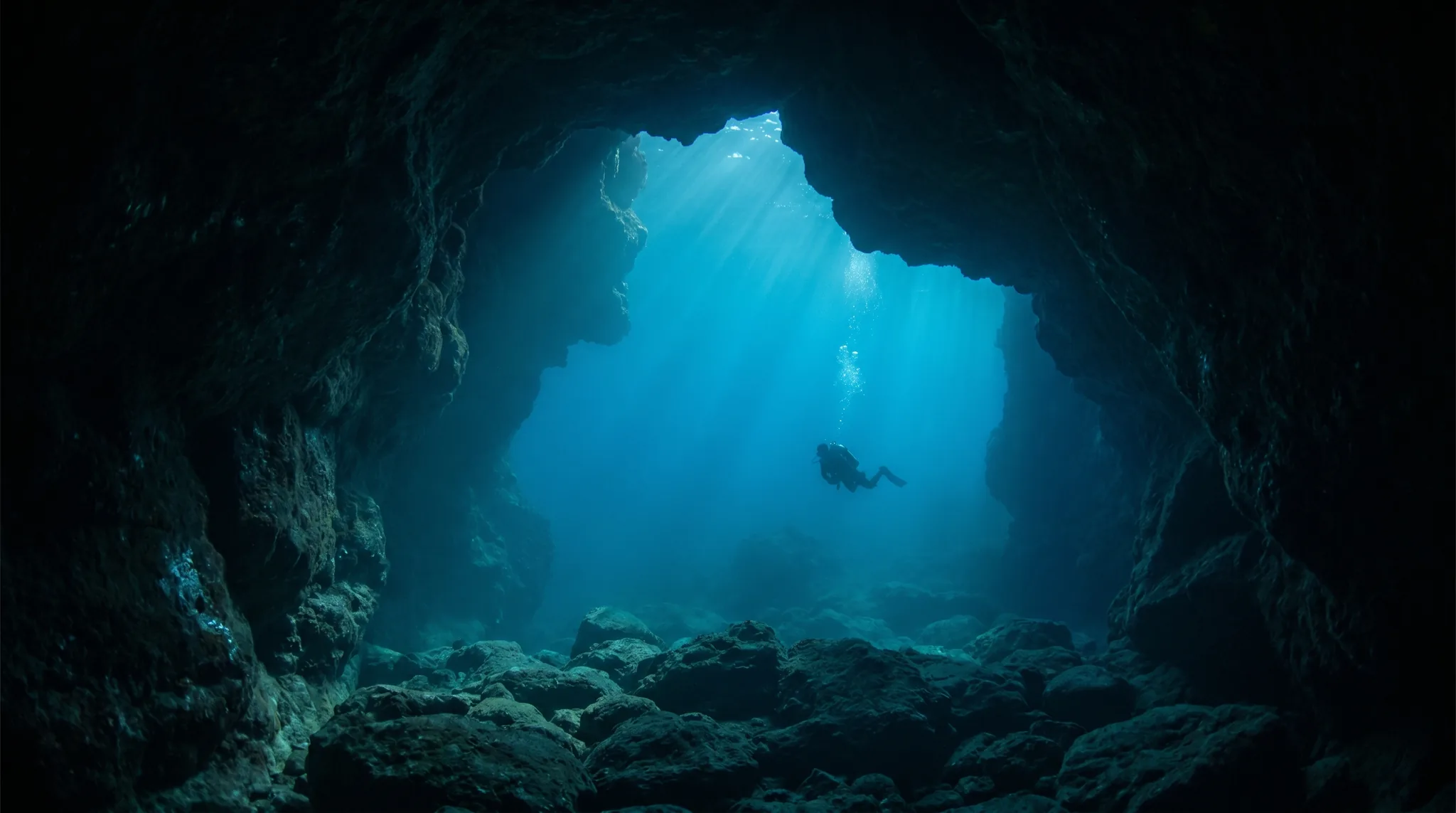
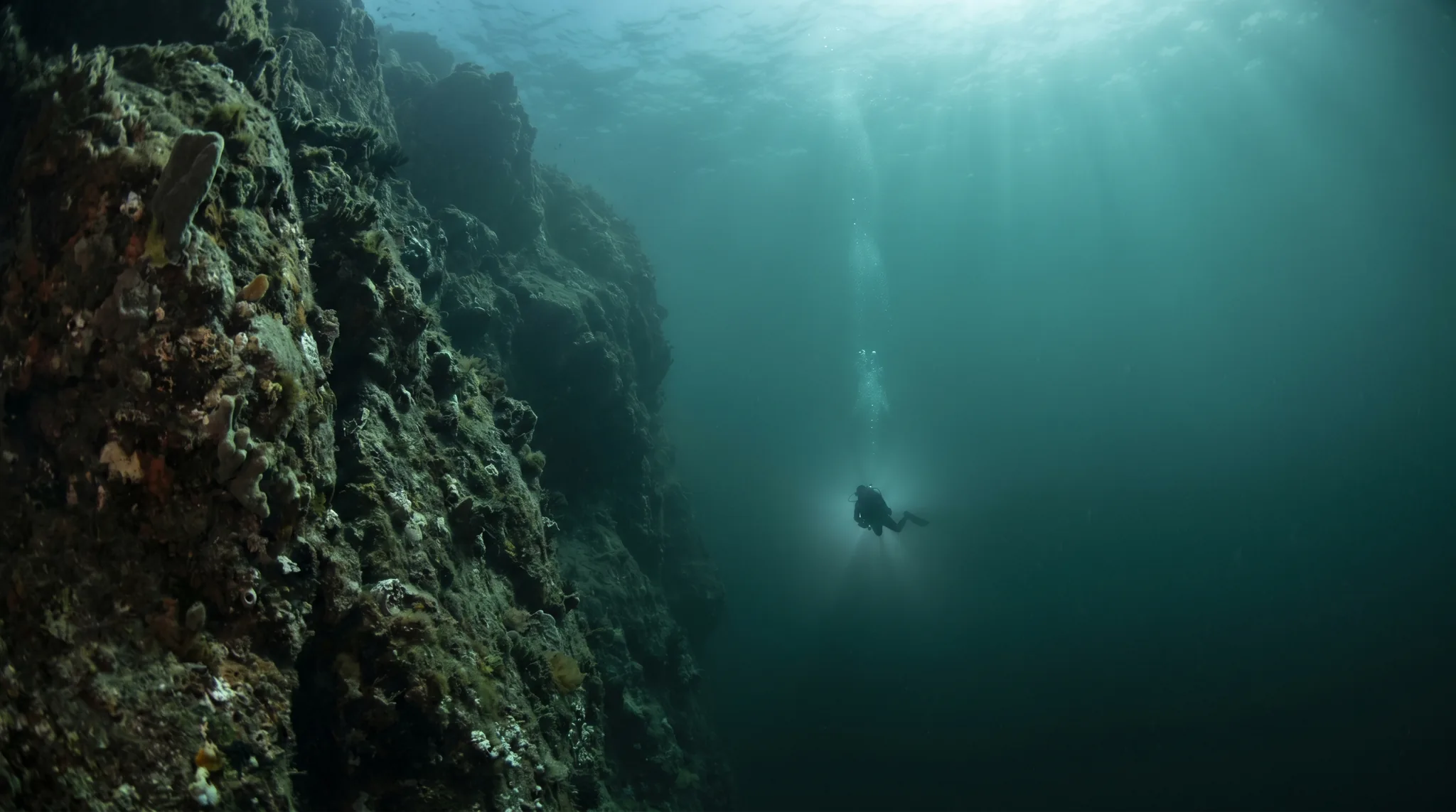
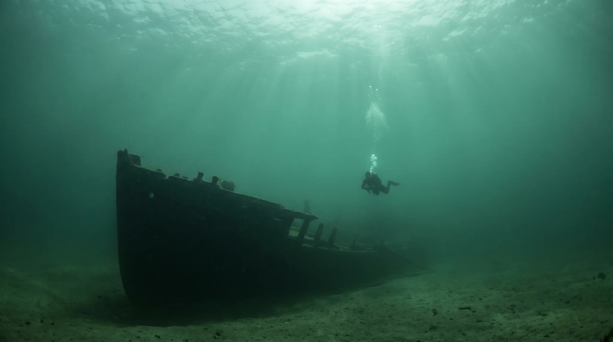
Despite the name, the sites in this region of our database span a broad stretch of Newfoundland's Avalon Peninsula coast, from Holyrood Marina and Petty Harbour to Rencontre East and beyond. The water is North Atlantic and cold, sitting near zero in winter and reaching its warmest in late summer. Terrain ranges from kelp forests and rocky ridges to sea stacks, deep caves, glacial fjords, and wrecks. Marine life recorded here includes humpback whales, Atlantic wolffish, blue sharks, harbour seals, lumpfish, and ocean sunfish. Entry is available from shore at several sites and by boat at others, with skill requirements spanning beginner through advanced.
Monthly water temperature across Bell Island Shipwrecks's sites, from satellite sea-surface data corrected for depth. The band shows the site-to-site spread.
Water is coldest in late winter and early spring, warming to its peak in late summer before dropping again through autumn. The warmest months offer the widest range of accessible sites, though cold-water species such as Atlantic wolffish are present year-round.
Water temperature around Bell Island Shipwrecks ranges from about 0°C in March to 15°C in August, based on satellite sea-temperature data for its dive sites.
In the warm season (about 15°C) a 7mm or semi-dry suit is comfortable in Bell Island Shipwrecks; in the coldest months (about 0°C) step up to a drysuit.
Fin maps 8 sites in Bell Island Shipwrecks (5 scuba diving sites and 4 snorkelling spots, with some suited to both).
8 more sites to explore