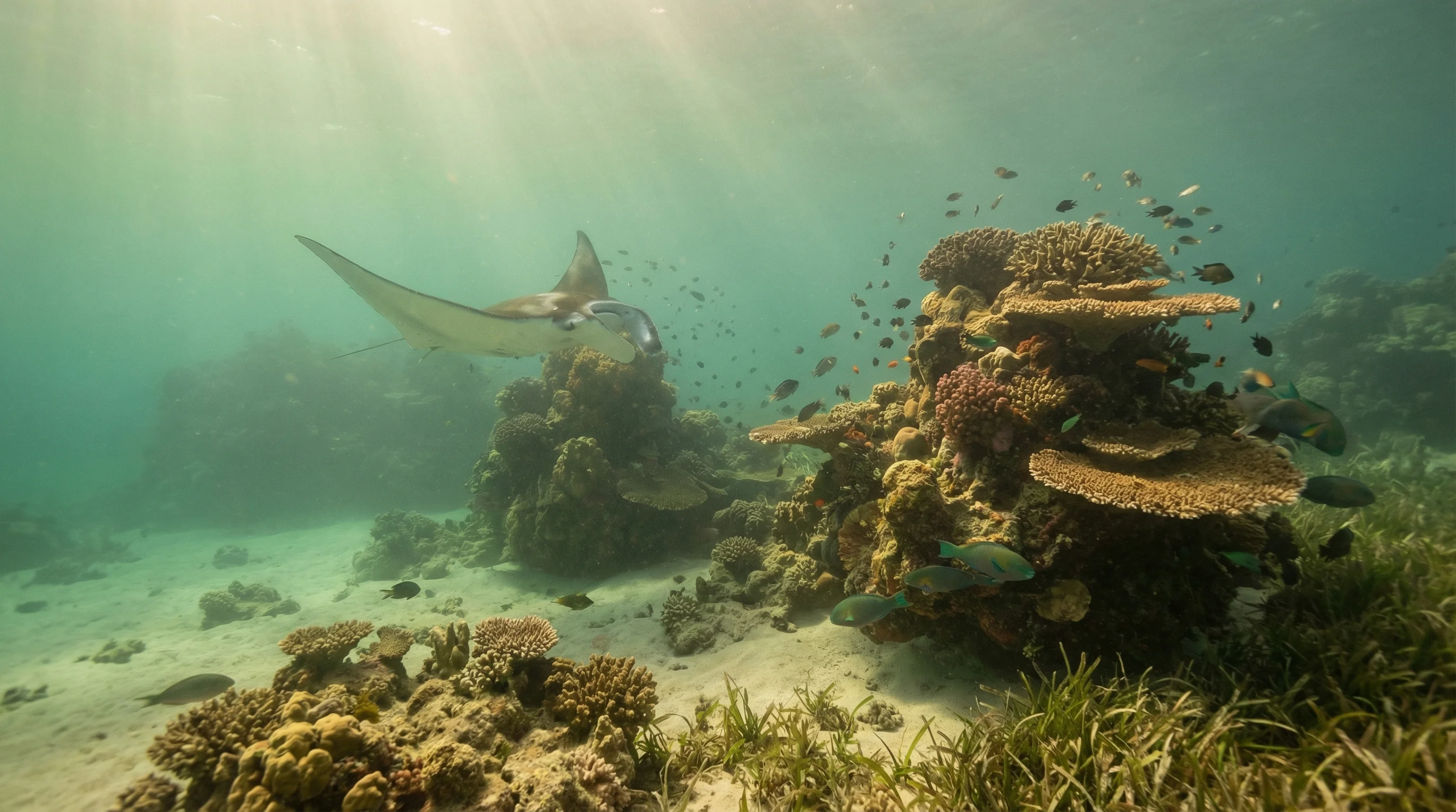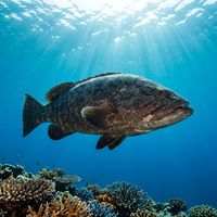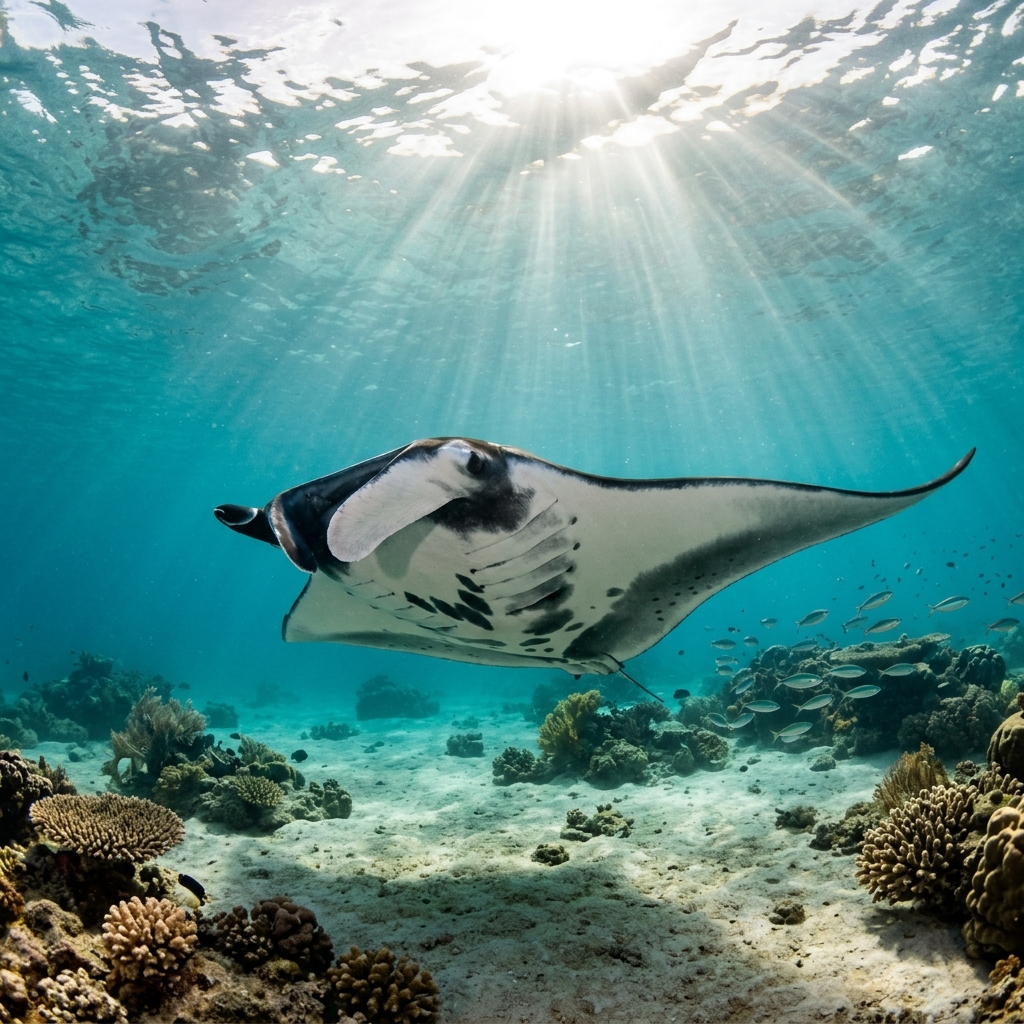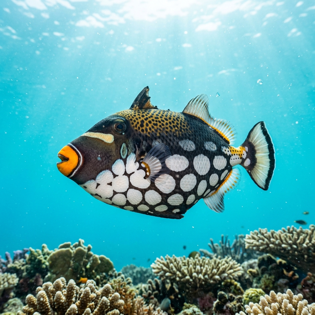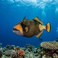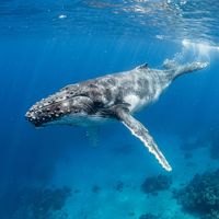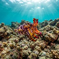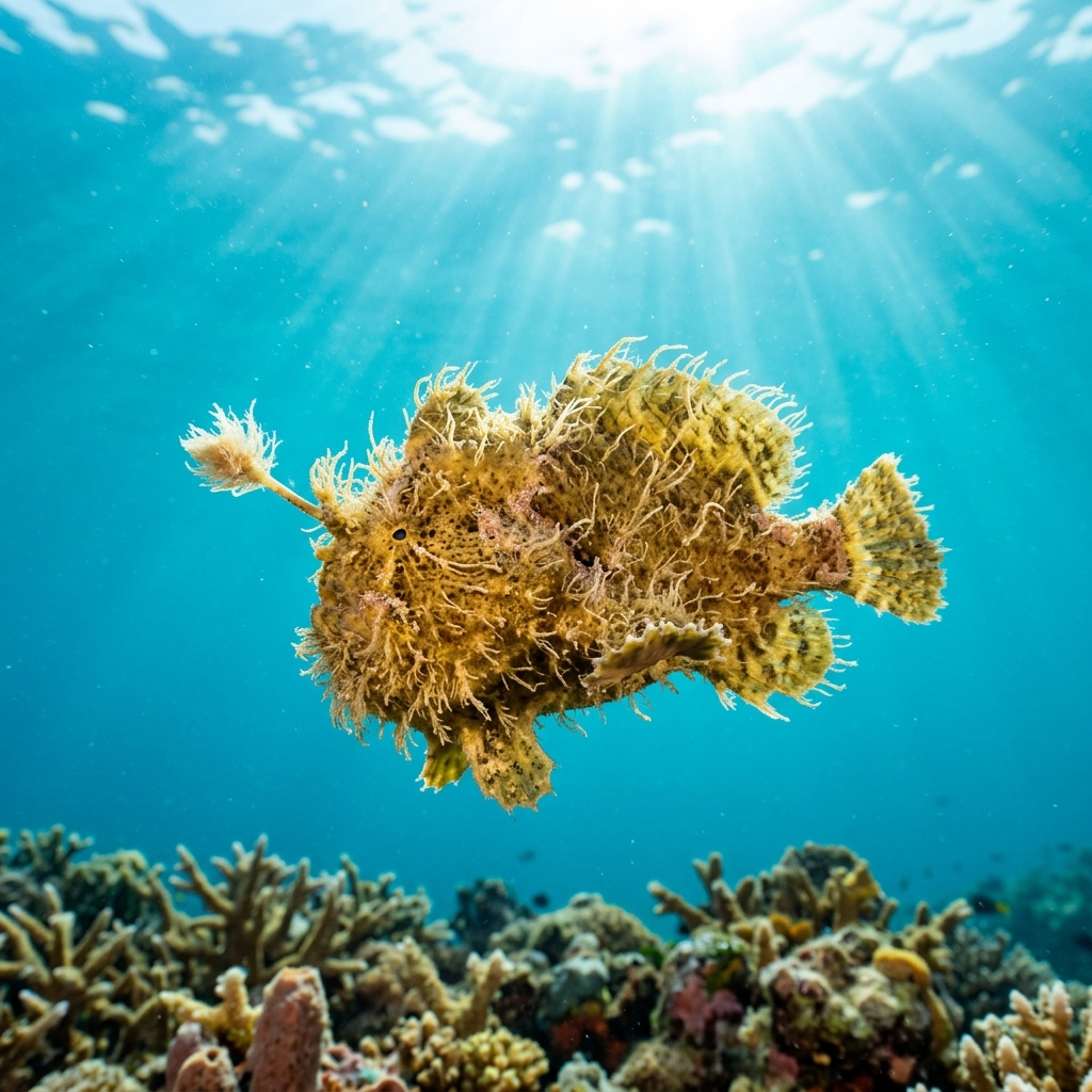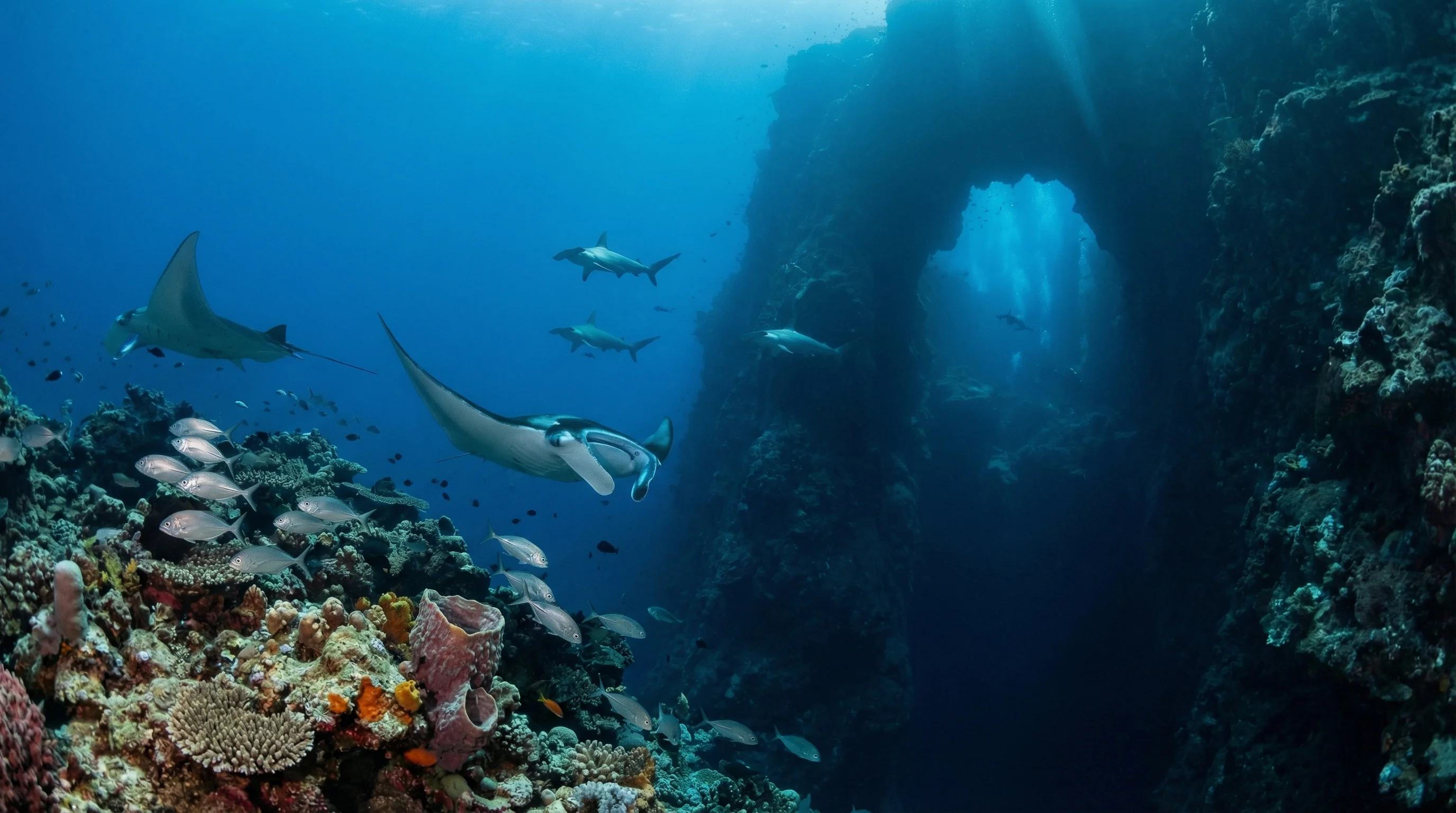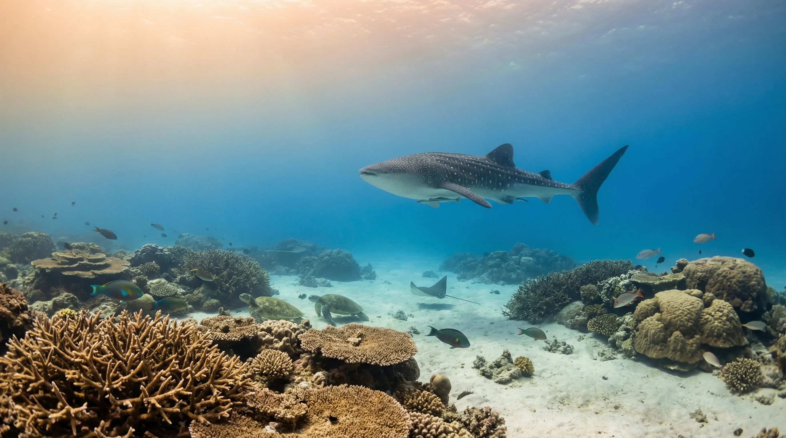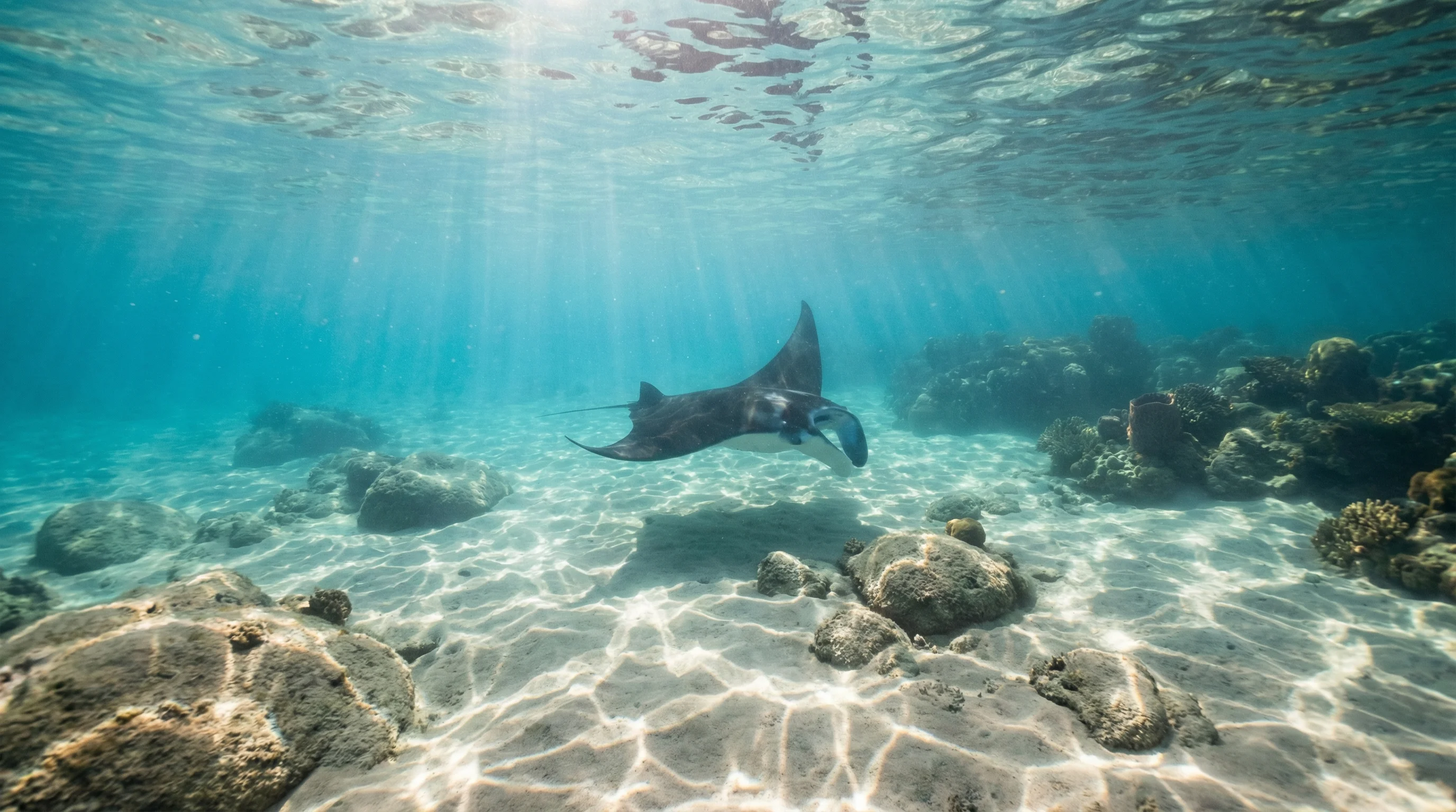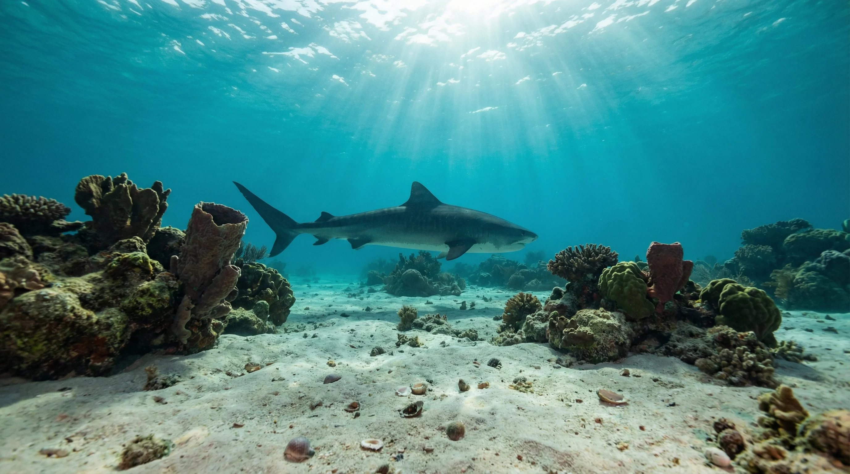
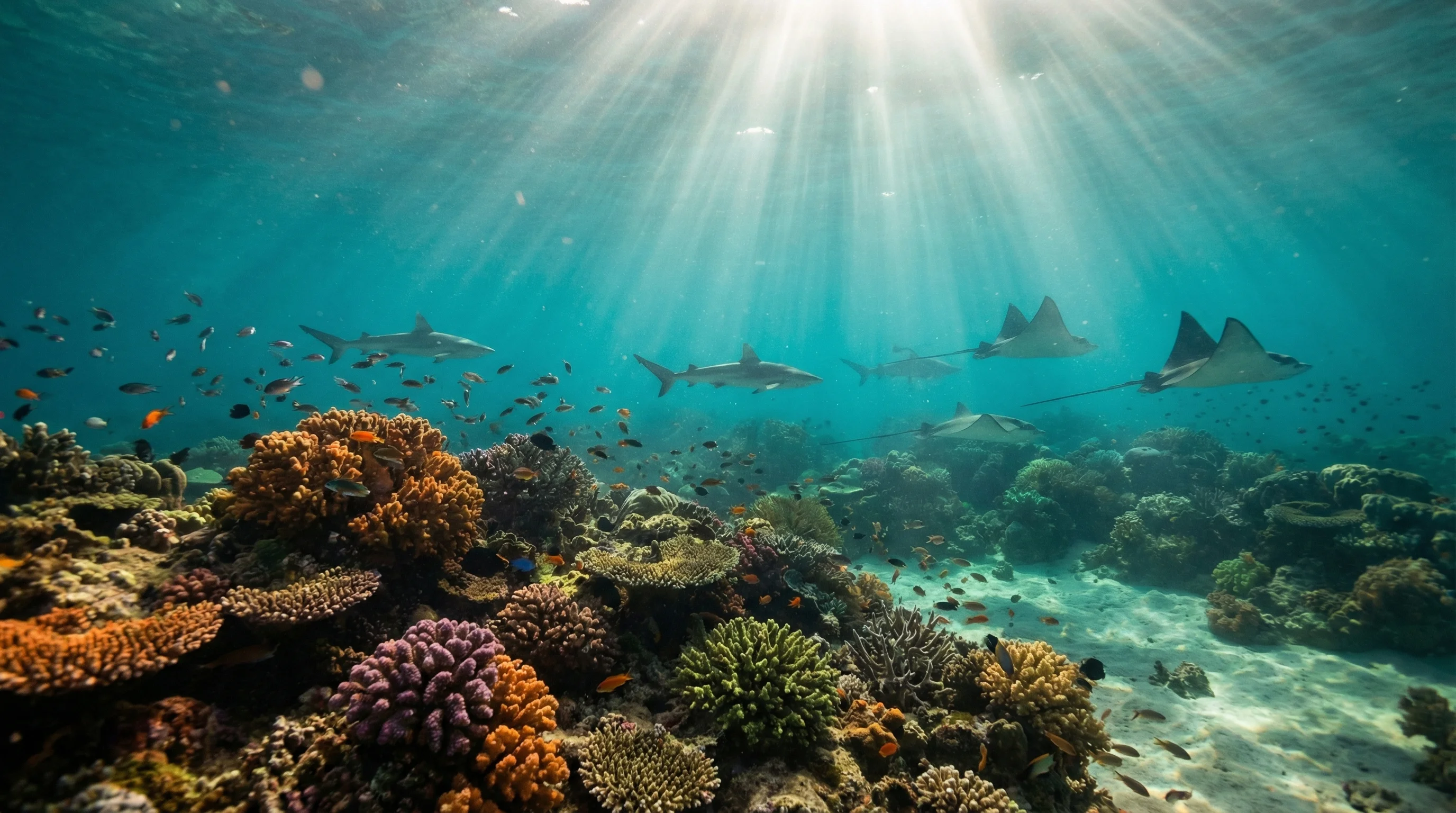
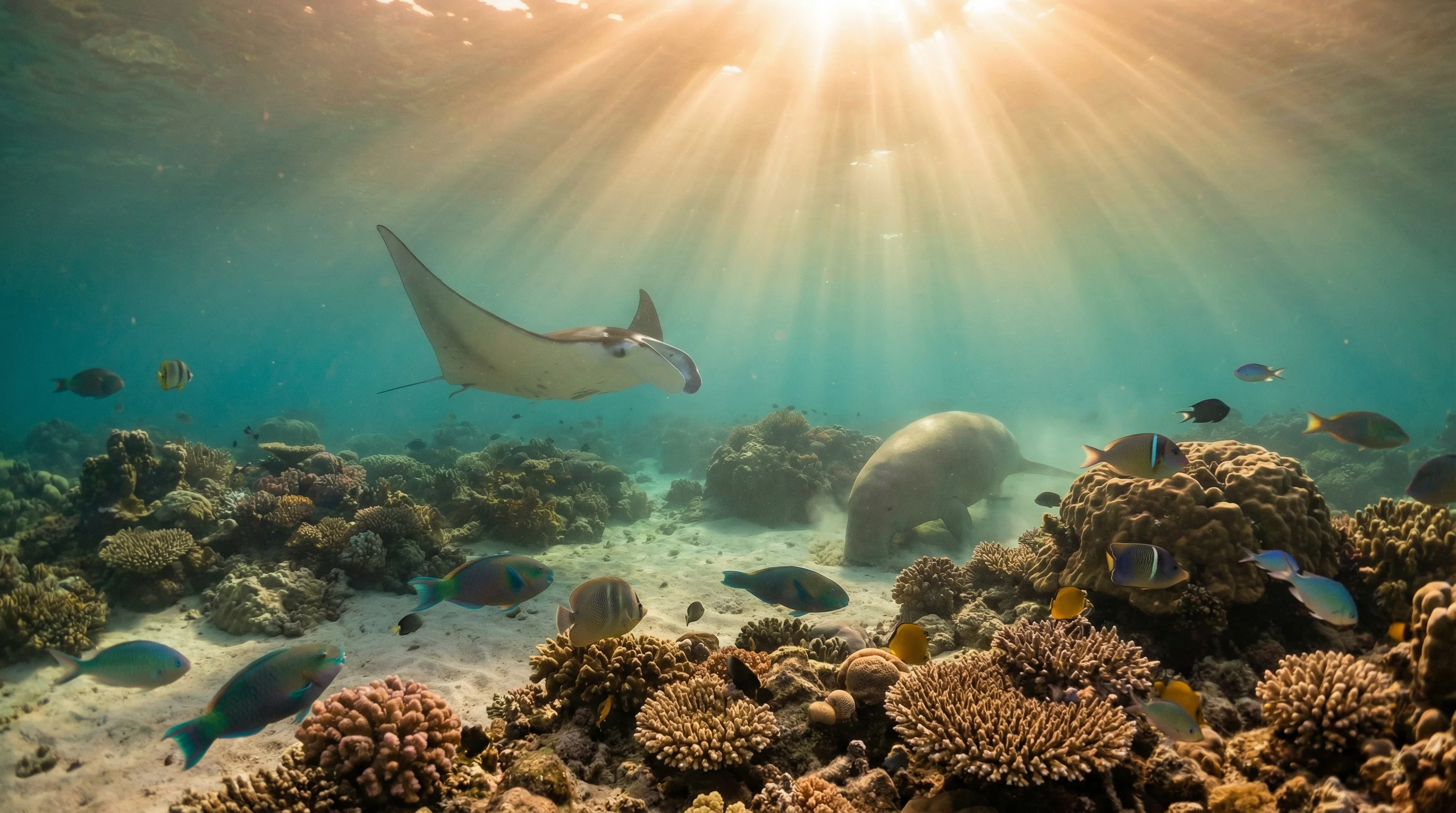
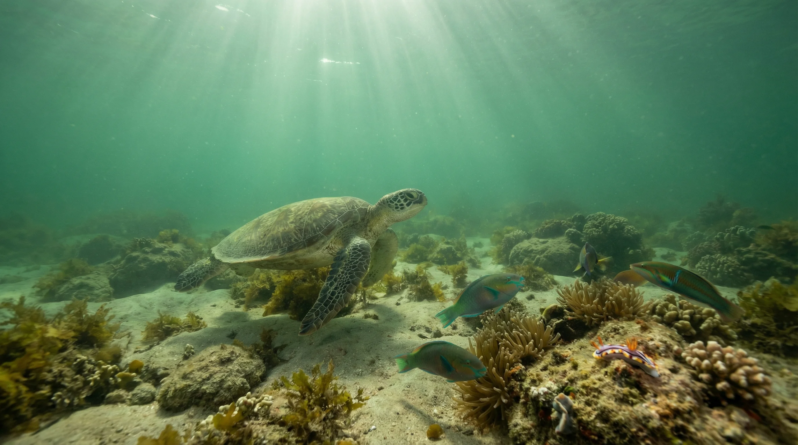
The Dampier Archipelago lies off the Pilbara coast in the Indian Ocean, where warm water and tidal ranges reaching several metres shape every dive. Sites span shallow seagrass beds and nearshore reef at Point Samson Beach through to deeper reef structures at Rosemary Island, reached by boat from Karratha. Water is warmest from late summer into autumn and slightly cooler mid-winter, though it remains warm throughout the year. Visibility is best during the dry season, when conditions are clearest, and drops during the wet season. Species recorded include green sea turtles, whitetip reef sharks, Napoleon wrasse, pharaoh cuttlefish, and the unusual knifetooth sawfish.
Monthly water temperature across Dampier Archipelago's sites, from satellite sea-surface data corrected for depth. The band shows the site-to-site spread.
The dry season, broadly from mid-autumn to mid-spring, brings the clearest water and the most settled surface conditions. Tidal ranges are large, so currents can be strong; planning dives around slack water is important, particularly at more exposed sites such as Rosemary Island.
2 operators
Australia
Water temperature around Dampier Archipelago ranges from about 23°C in July to 30°C in January, based on satellite sea-temperature data for its dive sites.
In the warm season (about 30°C) a rash guard or 3mm shorty is comfortable in Dampier Archipelago; in the coldest months (about 23°C) step up to a 3mm full suit.
Fin maps 6 sites in Dampier Archipelago (3 scuba diving sites and 5 snorkelling spots, with some suited to both).
6 more sites to explore