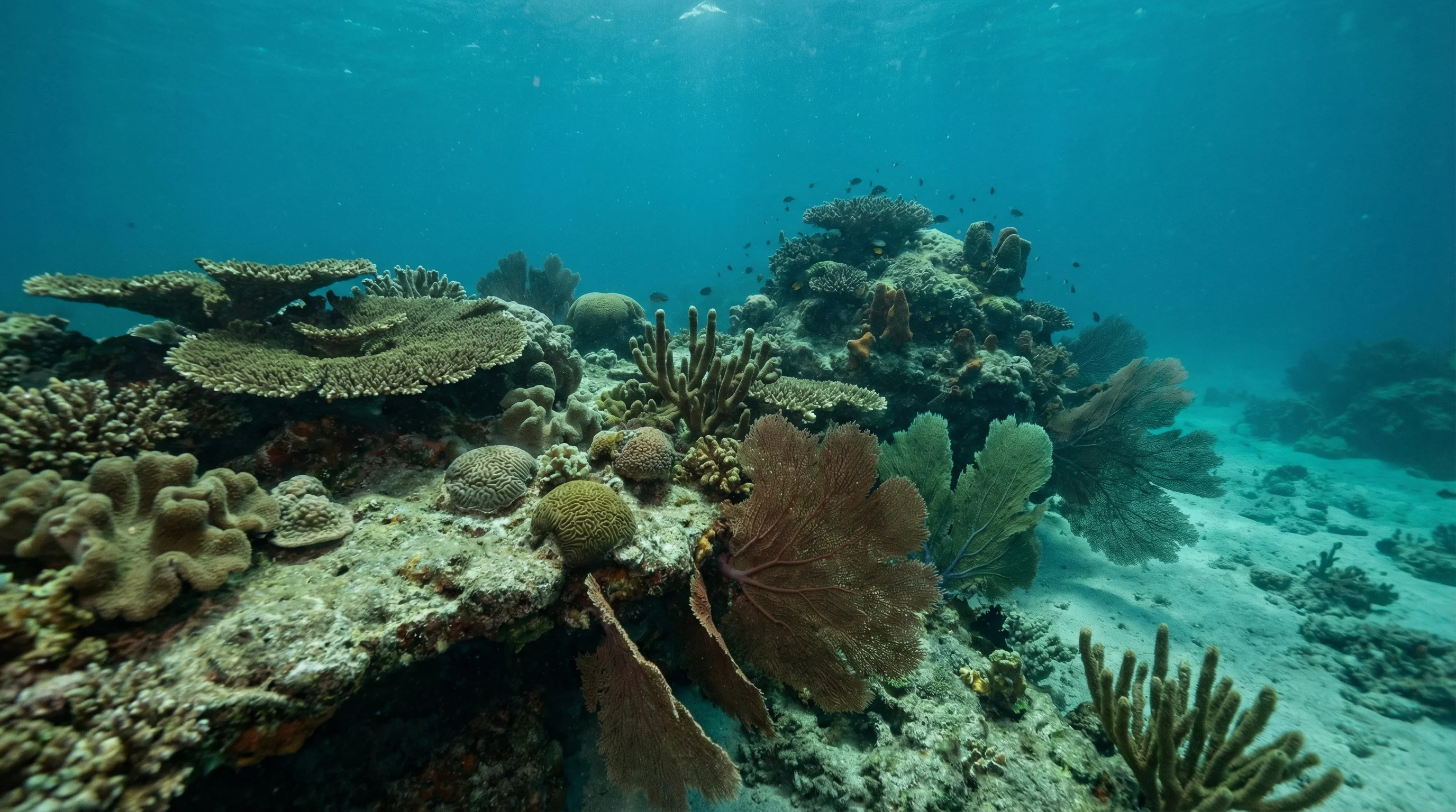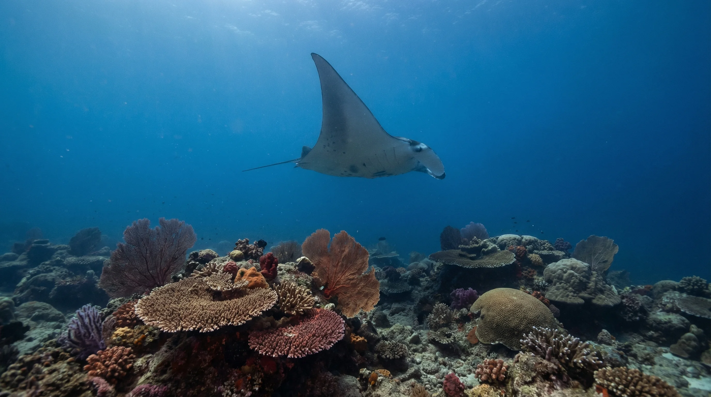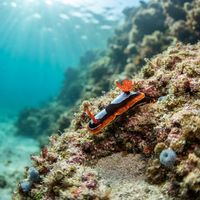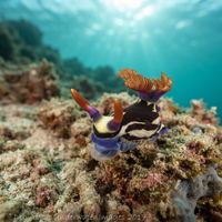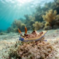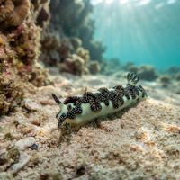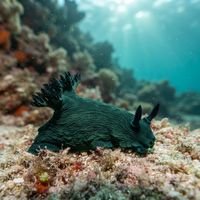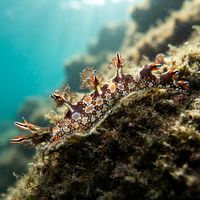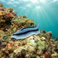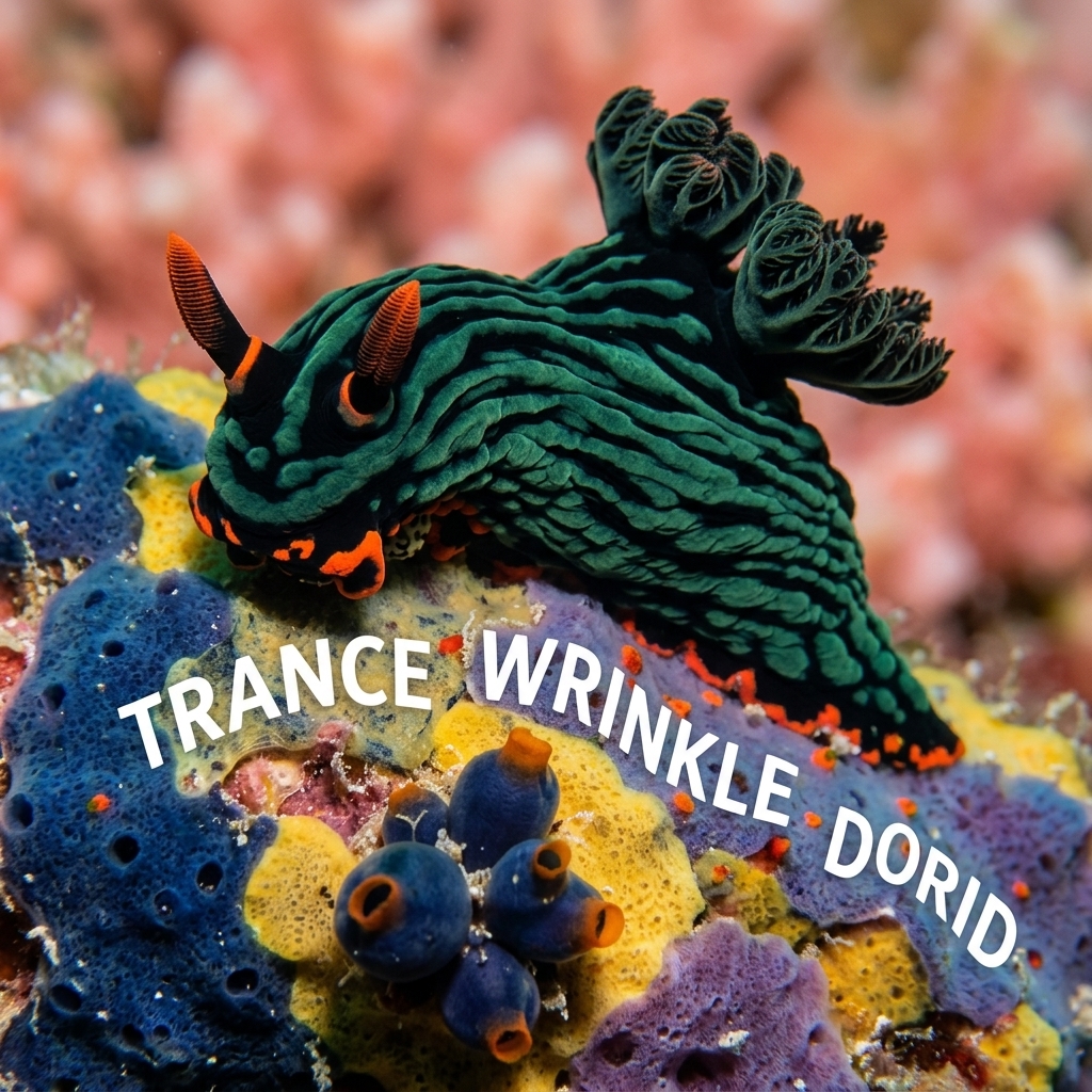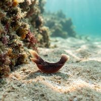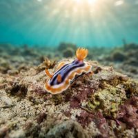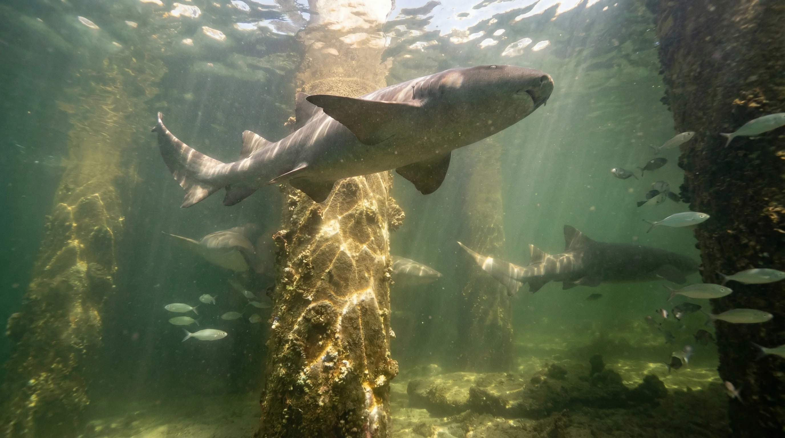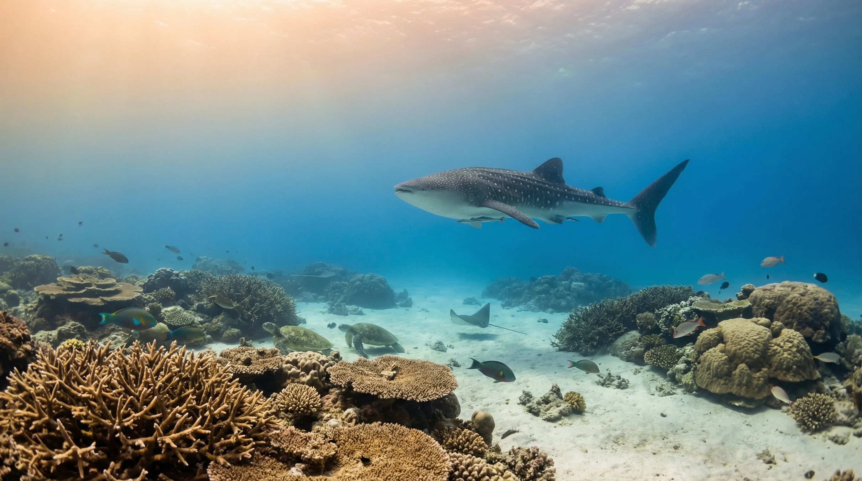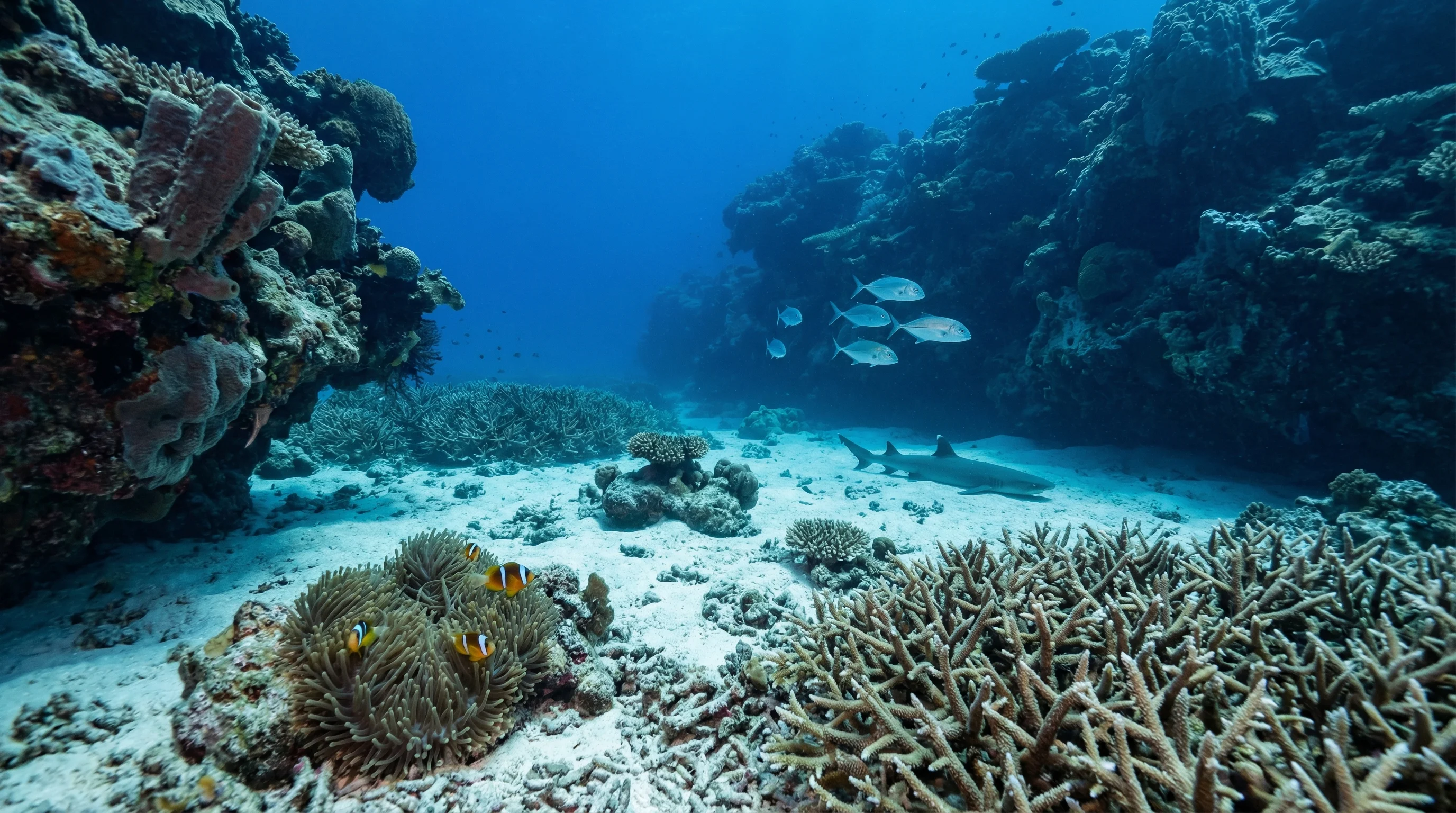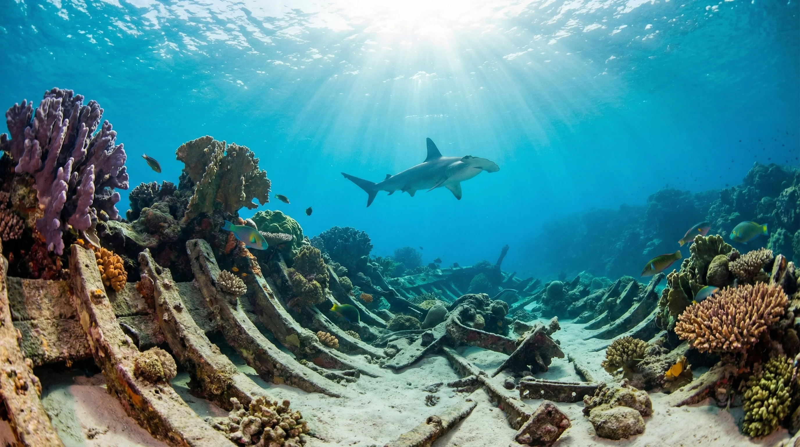
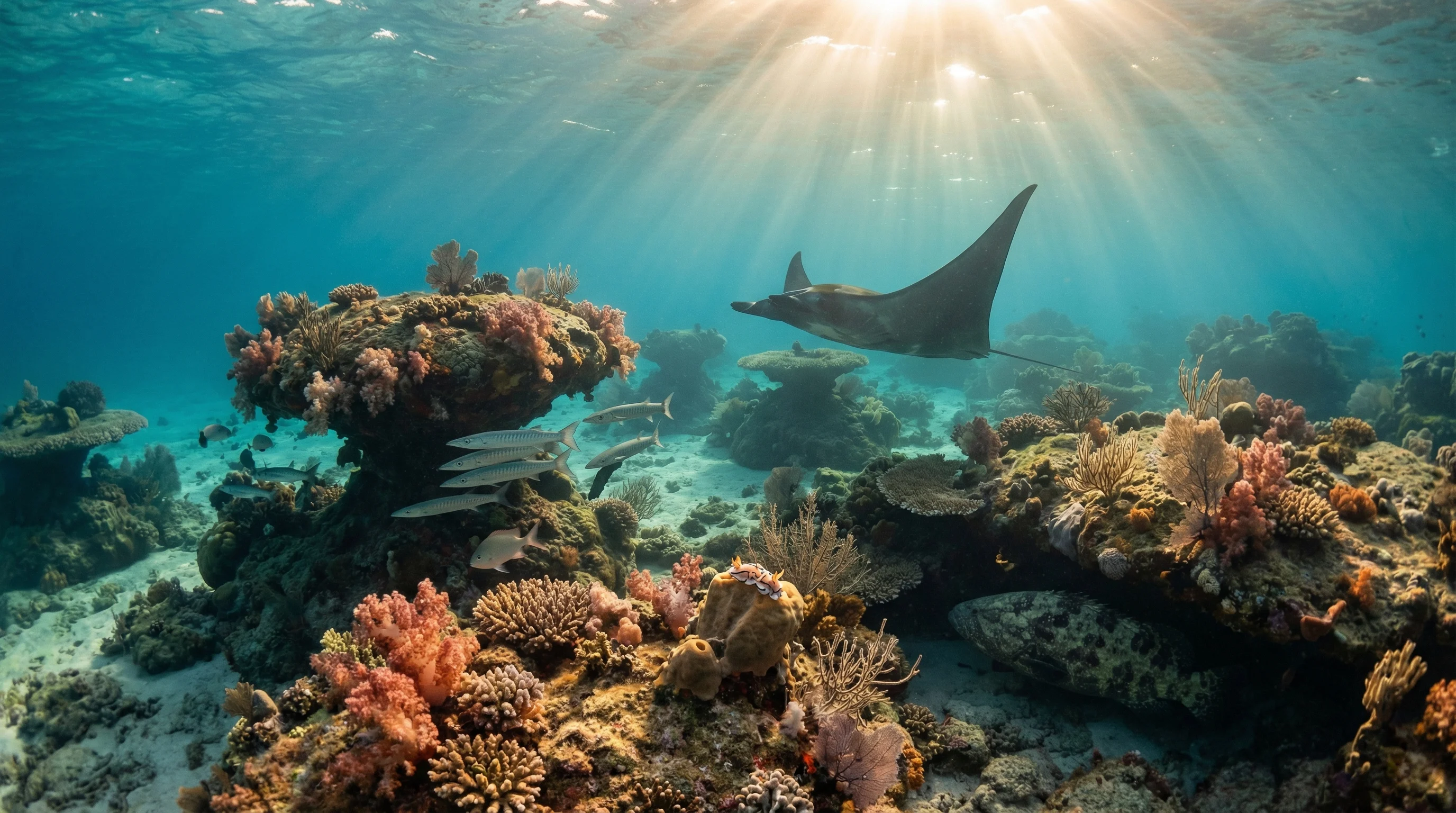
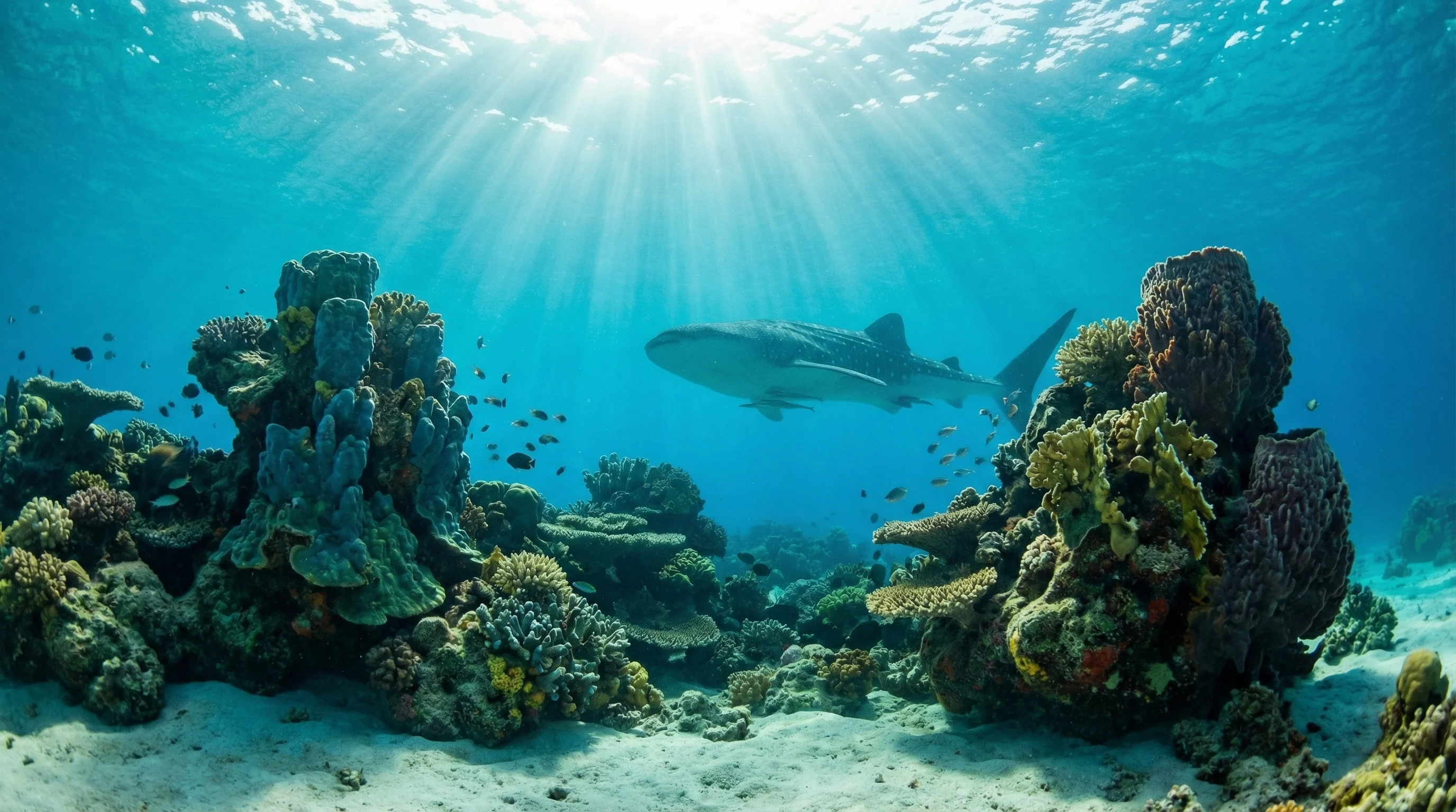
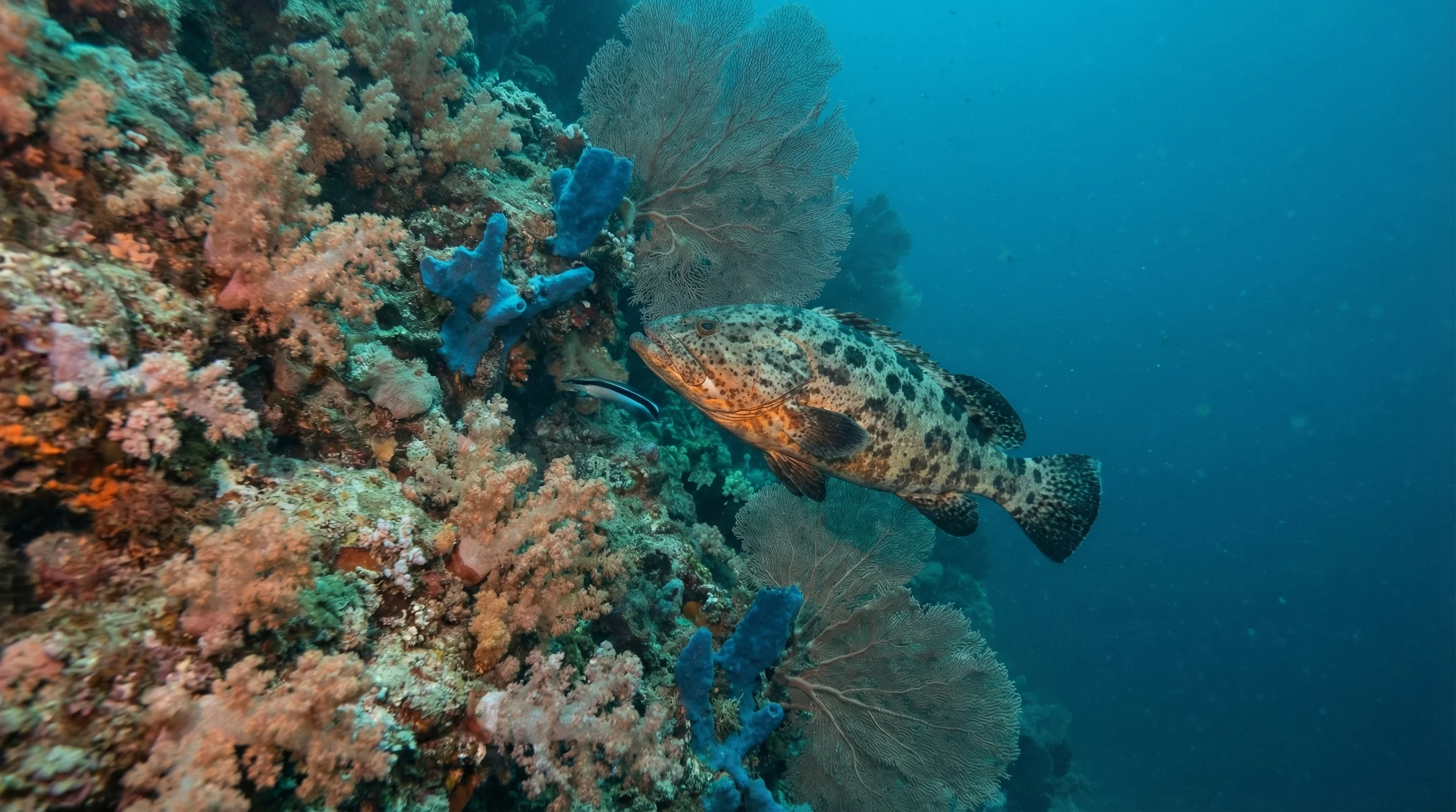
The Muiron Islands sit roughly fifteen kilometres off the coast from Exmouth in the Indian Ocean, reached by a boat trip of around an hour. All seven sites in our database are boat-only, with topography spanning reef, wall, cave, and drift formations across depths from a few metres down to twenty-five metres. Currents are a defining feature: some sites suit beginners on calmer days, while others require intermediate skills and comfort with drift diving. The species list reflects the islands' position near Ningaloo, with whale sharks, dugongs, humpback whales, whitetip reef sharks, Queensland grouper, and a wide variety of nudibranchs all recorded here. Water temperature peaks in late summer and autumn, then eases to its coolest in mid-winter.
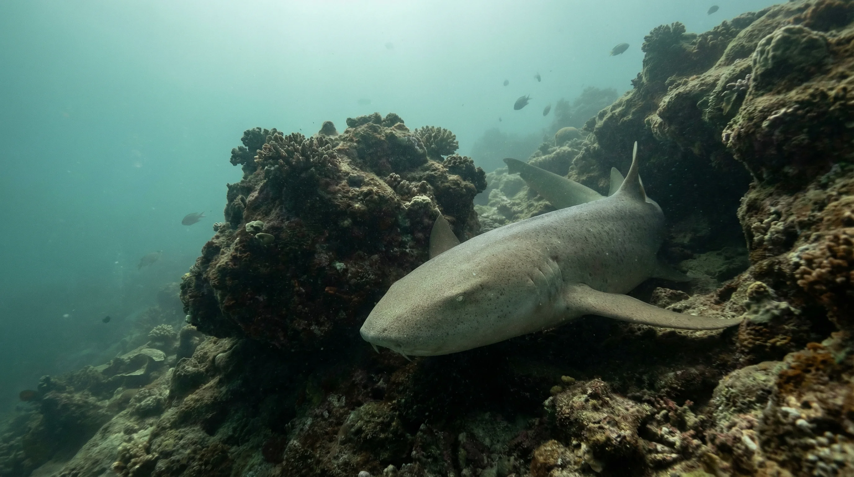
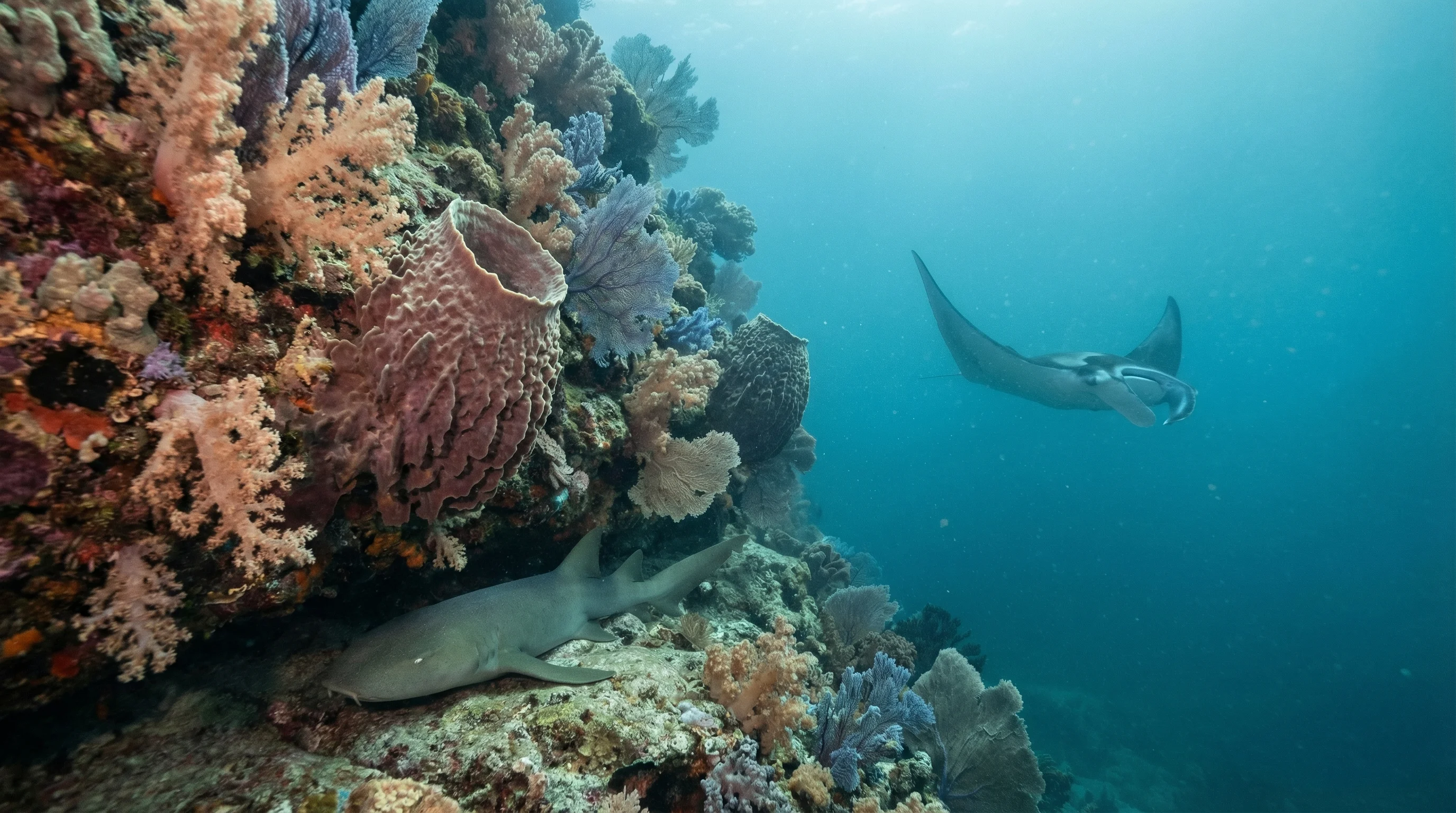
Monthly water temperature across Muiron Islands's sites, from satellite sea-surface data corrected for depth. The band shows the site-to-site spread.
Temperatures are warmest from late summer through autumn and reach their lowest in late winter. Currents vary significantly between sites, with some drift dives requiring experience in managing strong flow; checking local conditions before departure is important.
2 operators
Australia
Australia
Water temperature around Muiron Islands ranges from about 23°C in August to 28°C in February, based on satellite sea-temperature data for its dive sites.
In the warm season (about 28°C) a rash guard or 3mm shorty is comfortable in Muiron Islands; in the coldest months (about 23°C) step up to a 3mm full suit.
Fin maps 7 sites in Muiron Islands (5 scuba diving sites and 1 snorkelling spots, with some suited to both).
Across Muiron Islands's dive sites, March, April, July, October and November are most often reported as the best months to visit.
2 more sites to explore