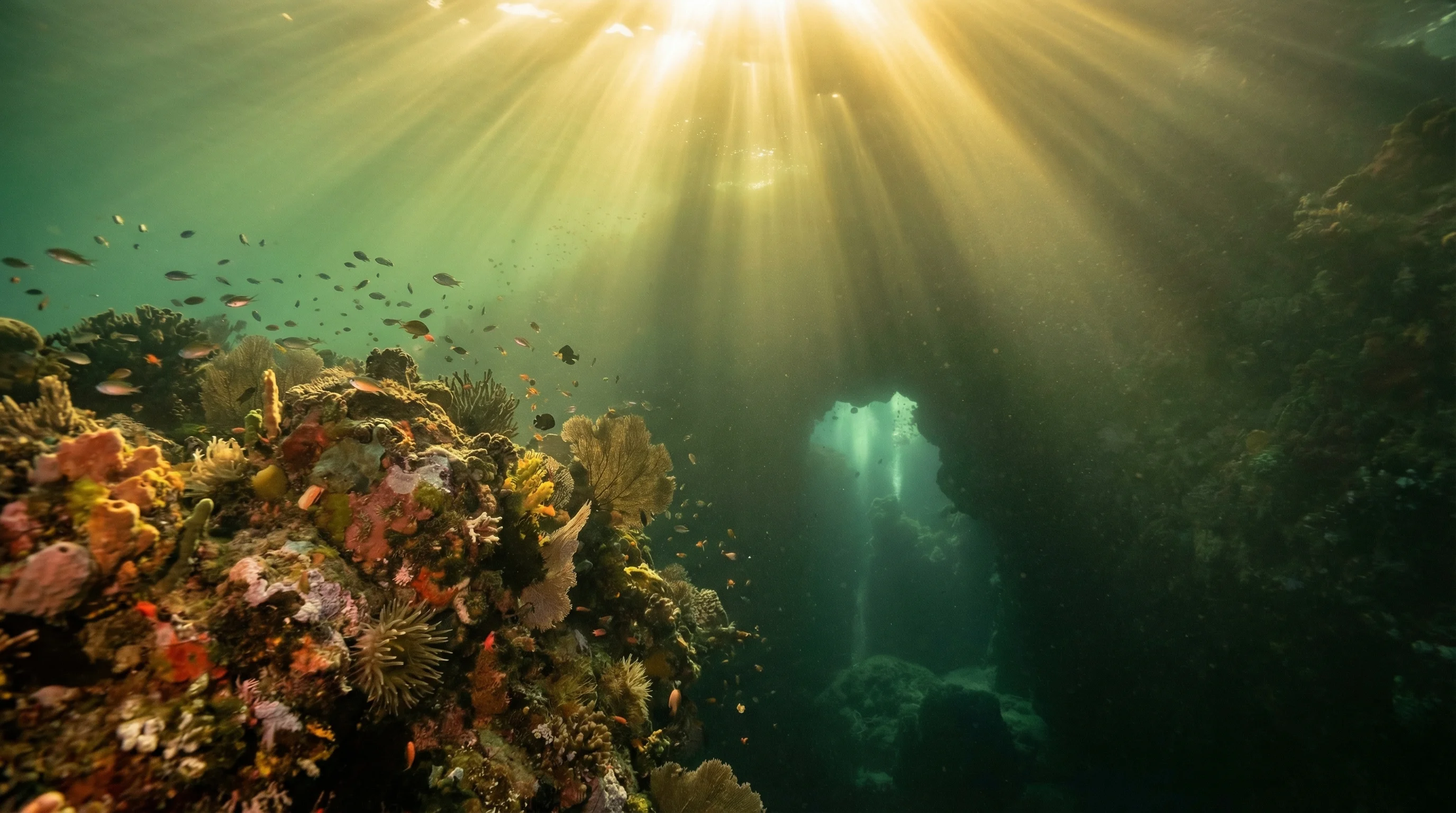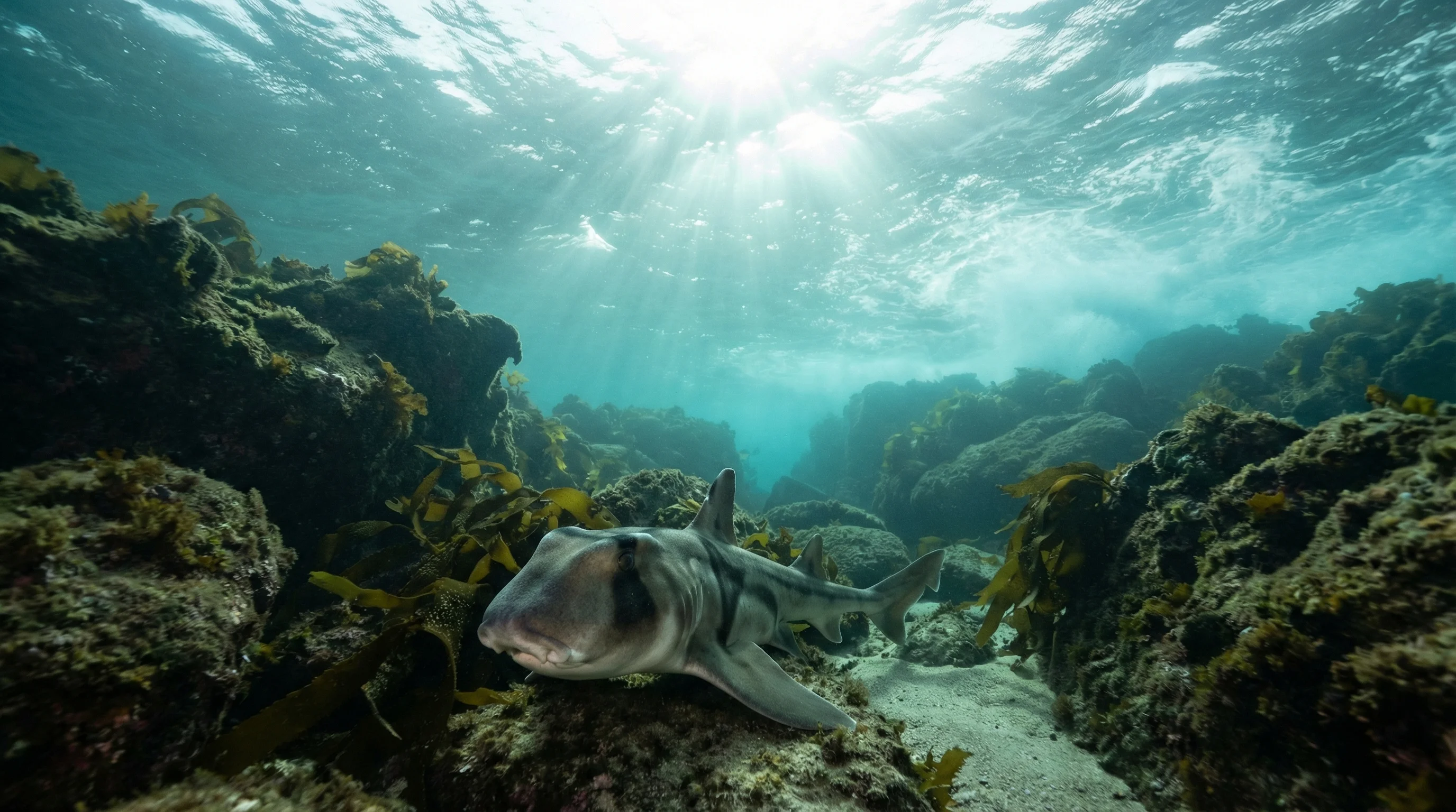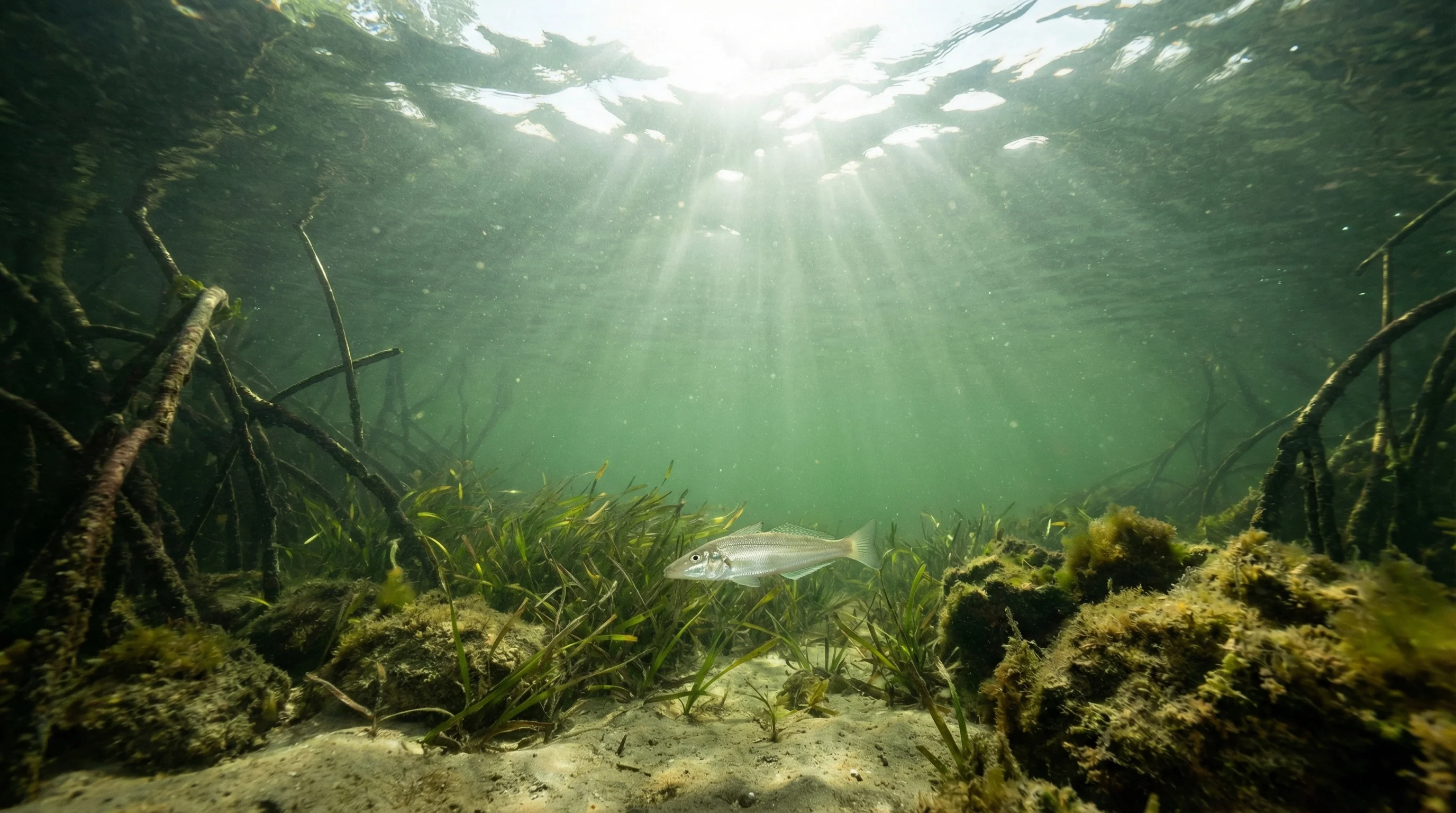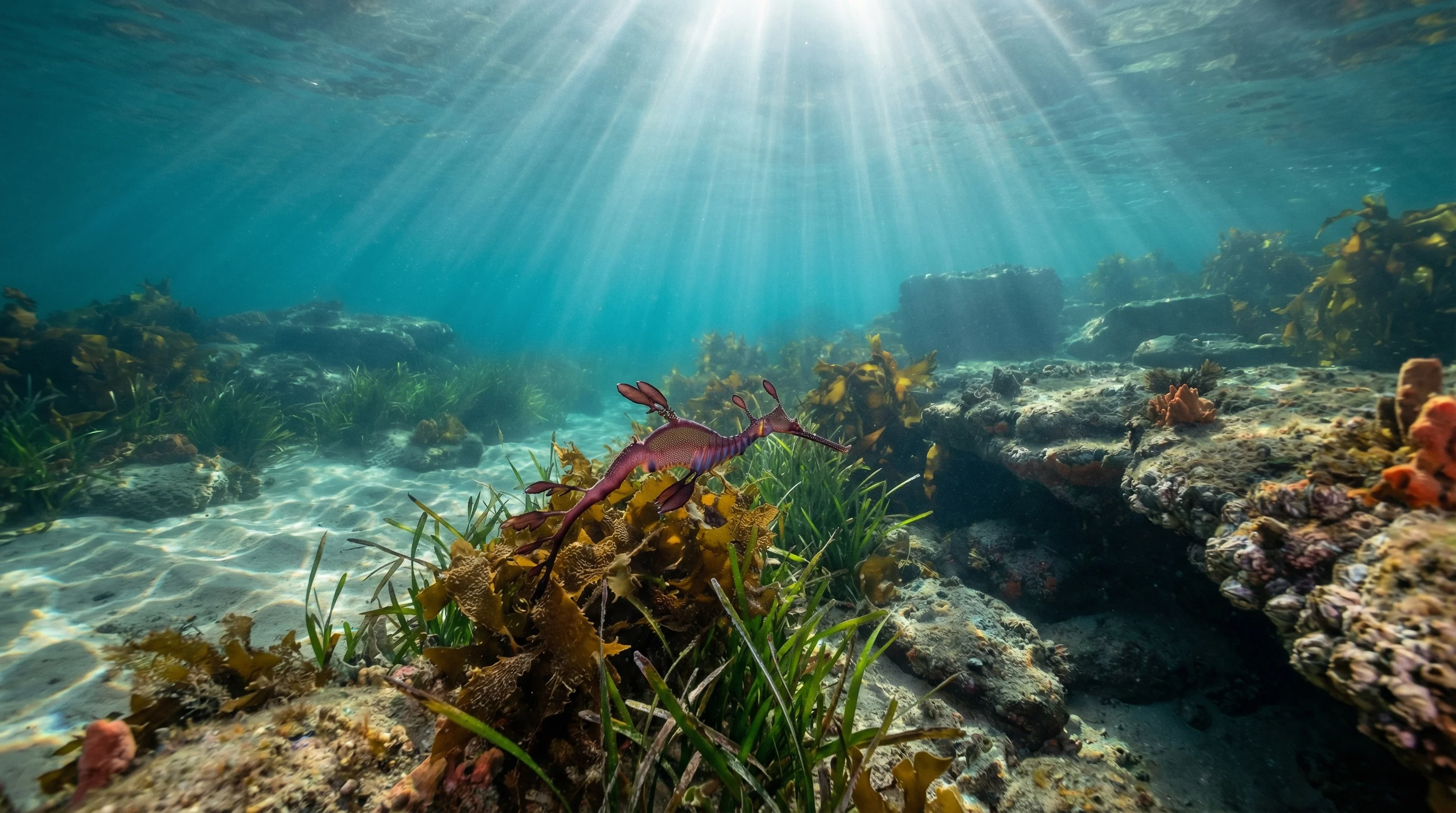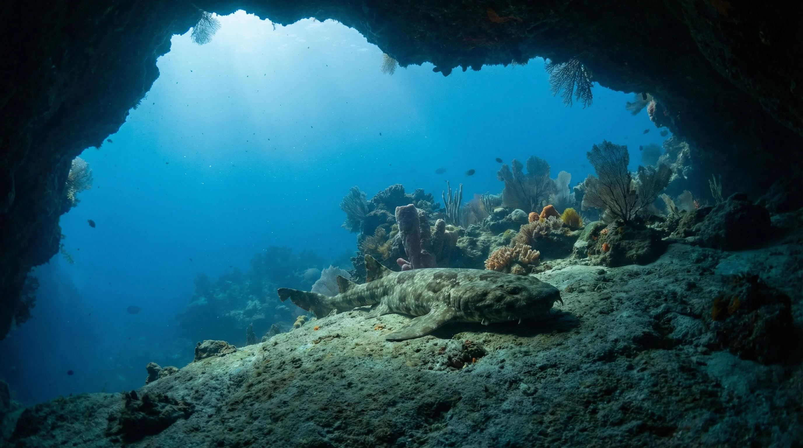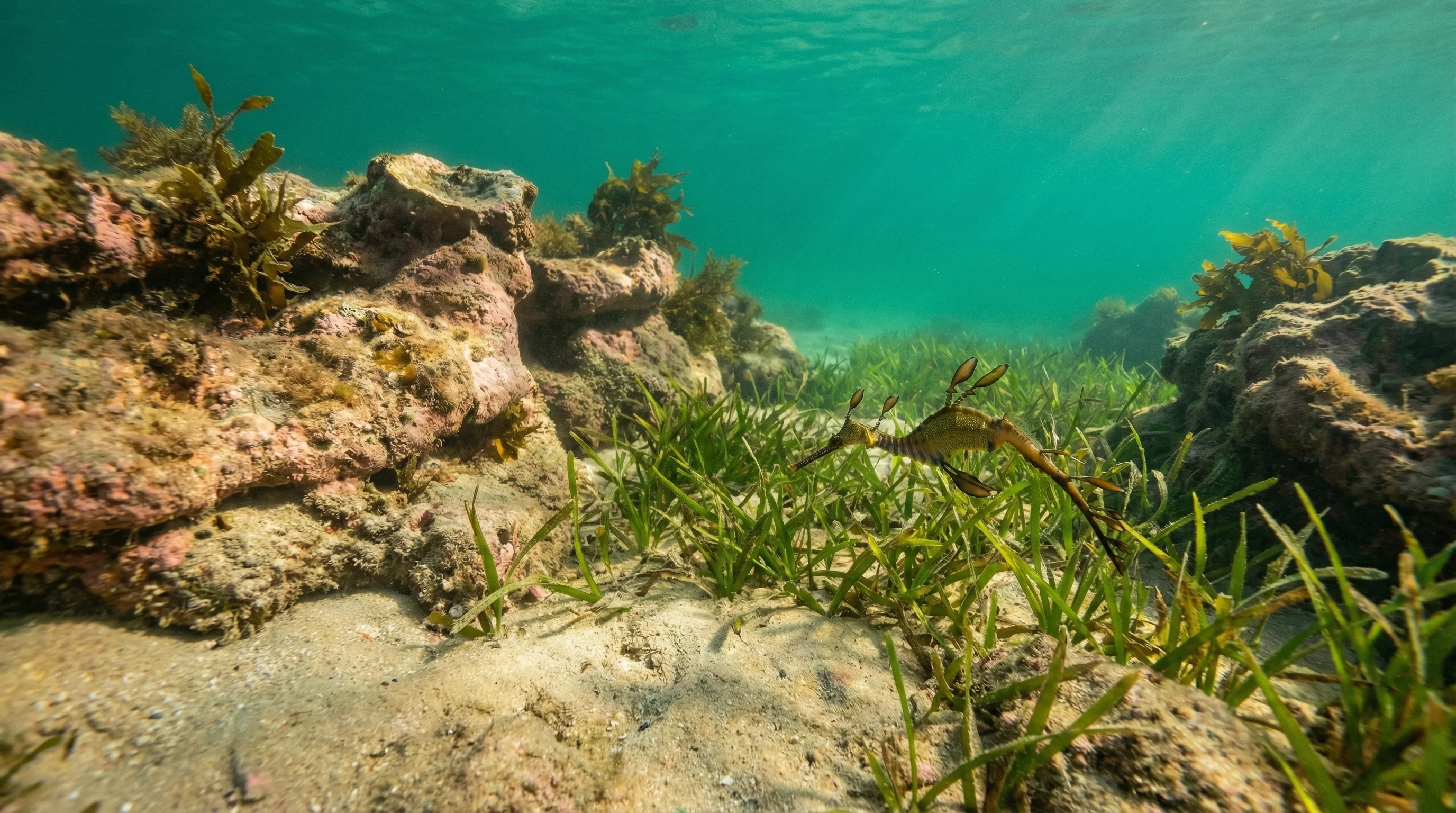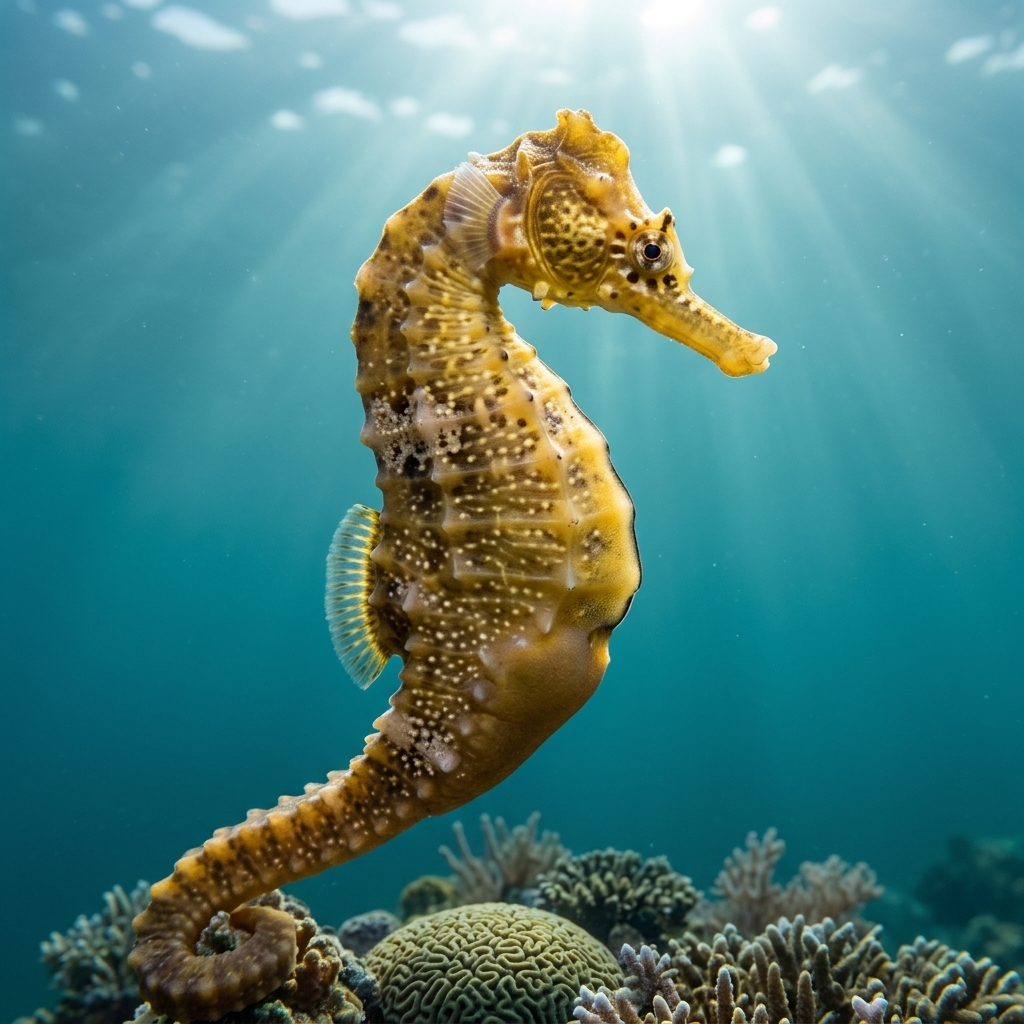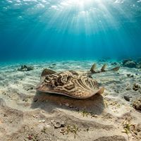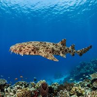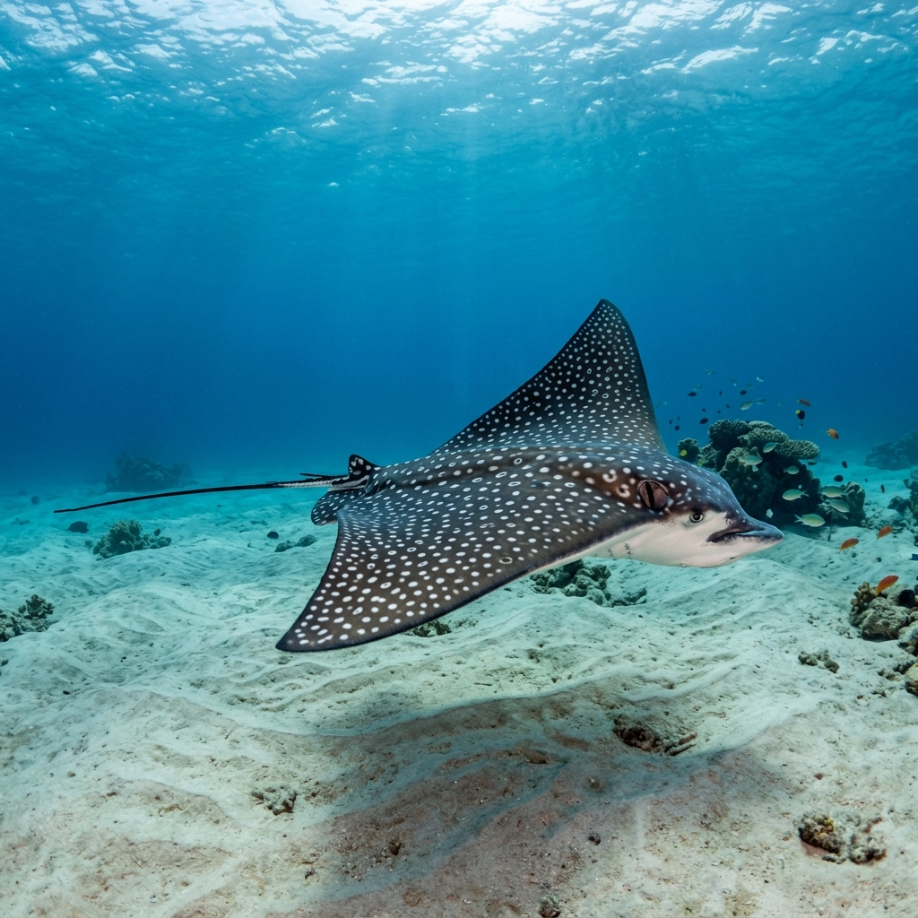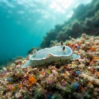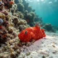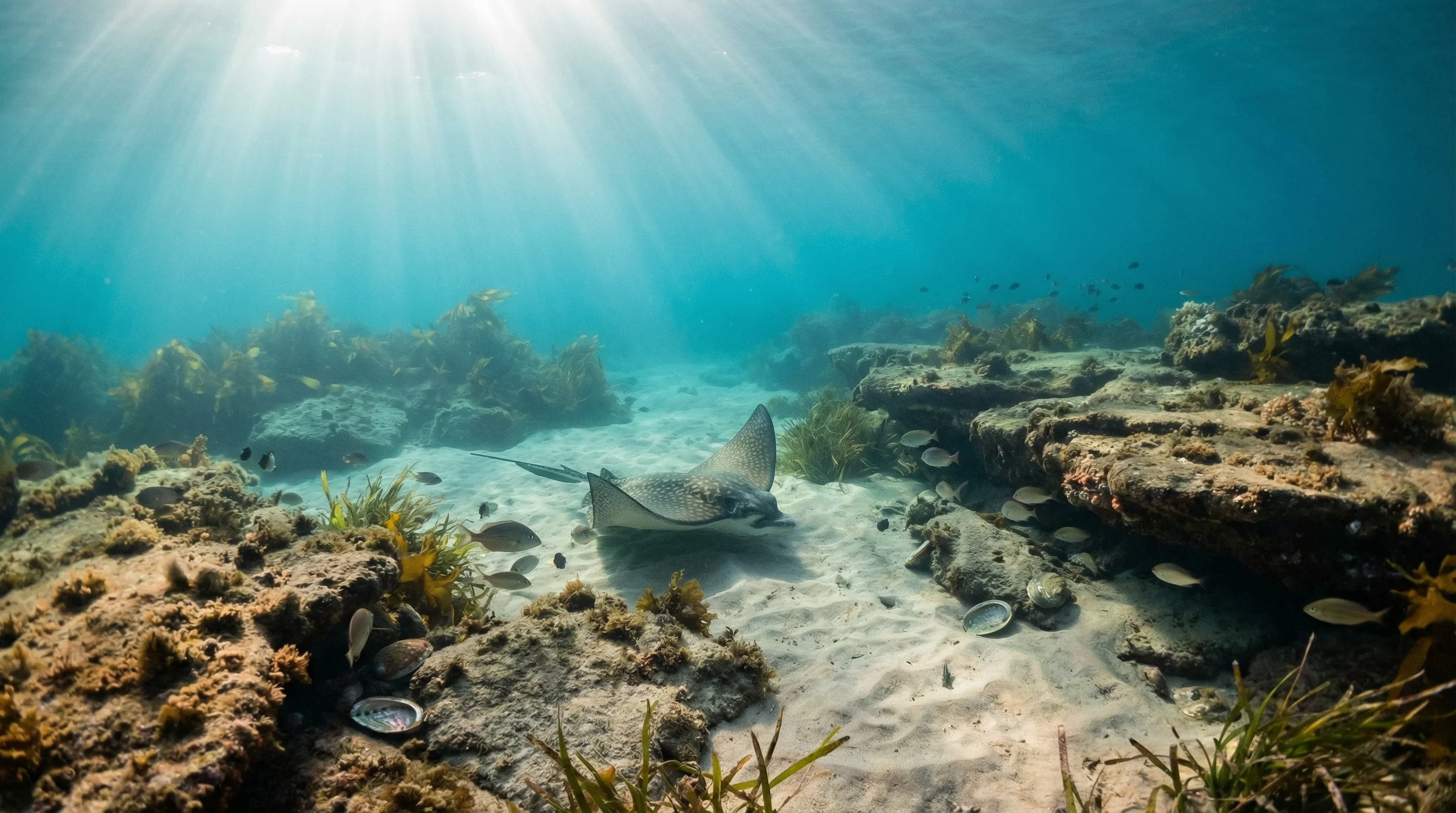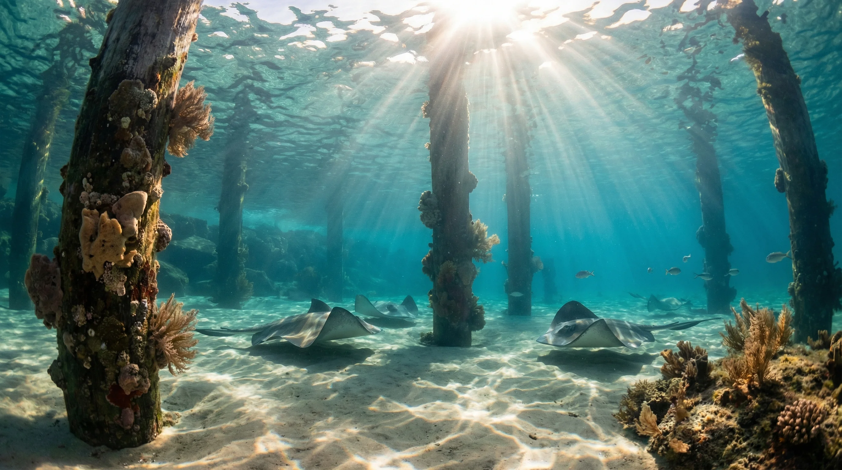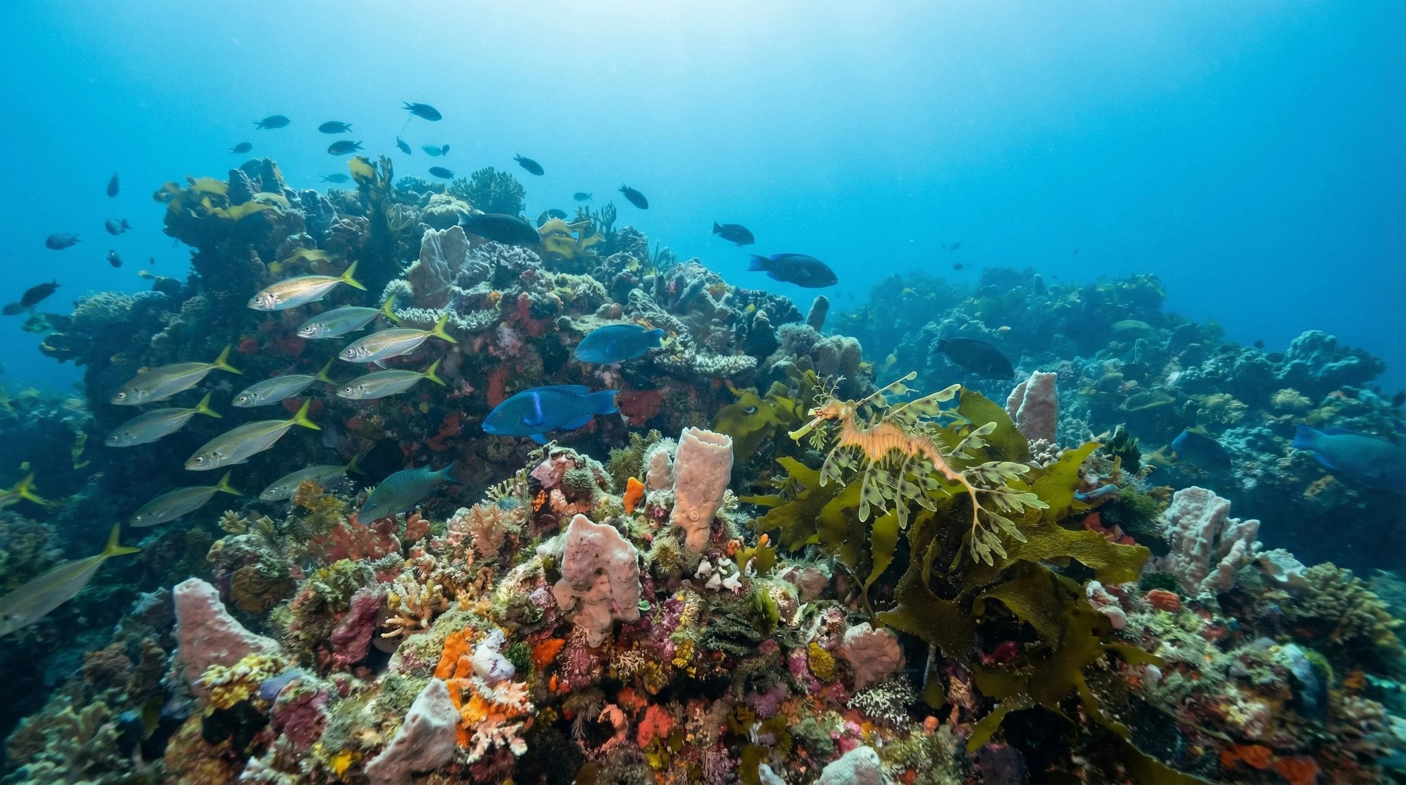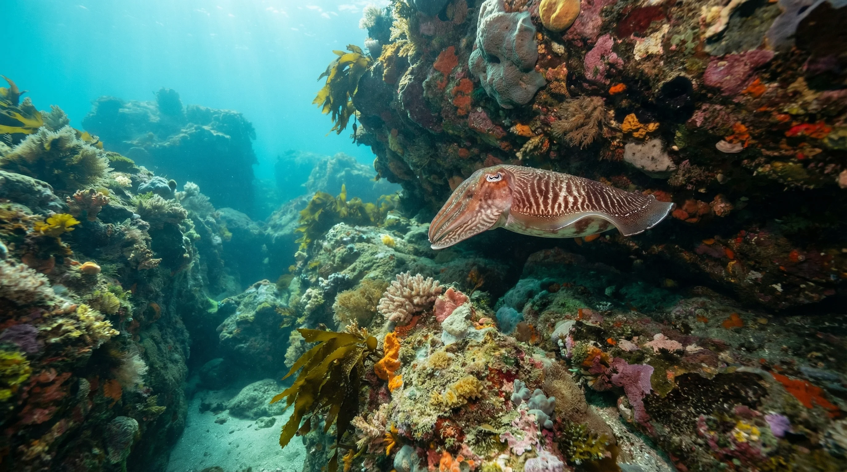
Broulee sits on the New South Wales South Coast, where the Tasman Sea meets a shoreline of rocky reefs, estuarine creeks, and sheltered coves. Sites range from the cave system at Bubble Cave, which holds air pockets in its ceiling, to shallow seagrass beds at Tomakin Cove and Candlagan Creek. Water temperatures peak in late summer and drop to their coolest in late winter, and visibility across the region can vary widely depending on swell and wind. The mix of ocean and estuarine sites suits beginners and intermediate divers, with species including pot-bellied seahorses, spotted wobbegong, fiddler rays, and long-nosed fur seals recorded across the area.
Monthly water temperature across Broulee's sites, from satellite sea-surface data corrected for depth. The band shows the site-to-site spread.
Water temperatures are warmest from late summer into early autumn and coolest in late winter. The range of sheltered sites, from protected coves to an estuary, means diving is possible year-round, though surge at more exposed sites such as Mckenzies Beach increases during easterly winds.
Water temperature around Broulee ranges from about 17°C in August to 23°C in February, based on satellite sea-temperature data for its dive sites.
In the warm season (about 23°C) a 3mm full suit is comfortable in Broulee; in the coldest months (about 17°C) step up to a 7mm or semi-dry suit.
Fin maps 6 sites in Broulee (5 scuba diving sites and 3 snorkelling spots, with some suited to both).
Across Broulee's dive sites, February, March, April, May, July and December are most often reported as the best months to visit.
2 more sites to explore