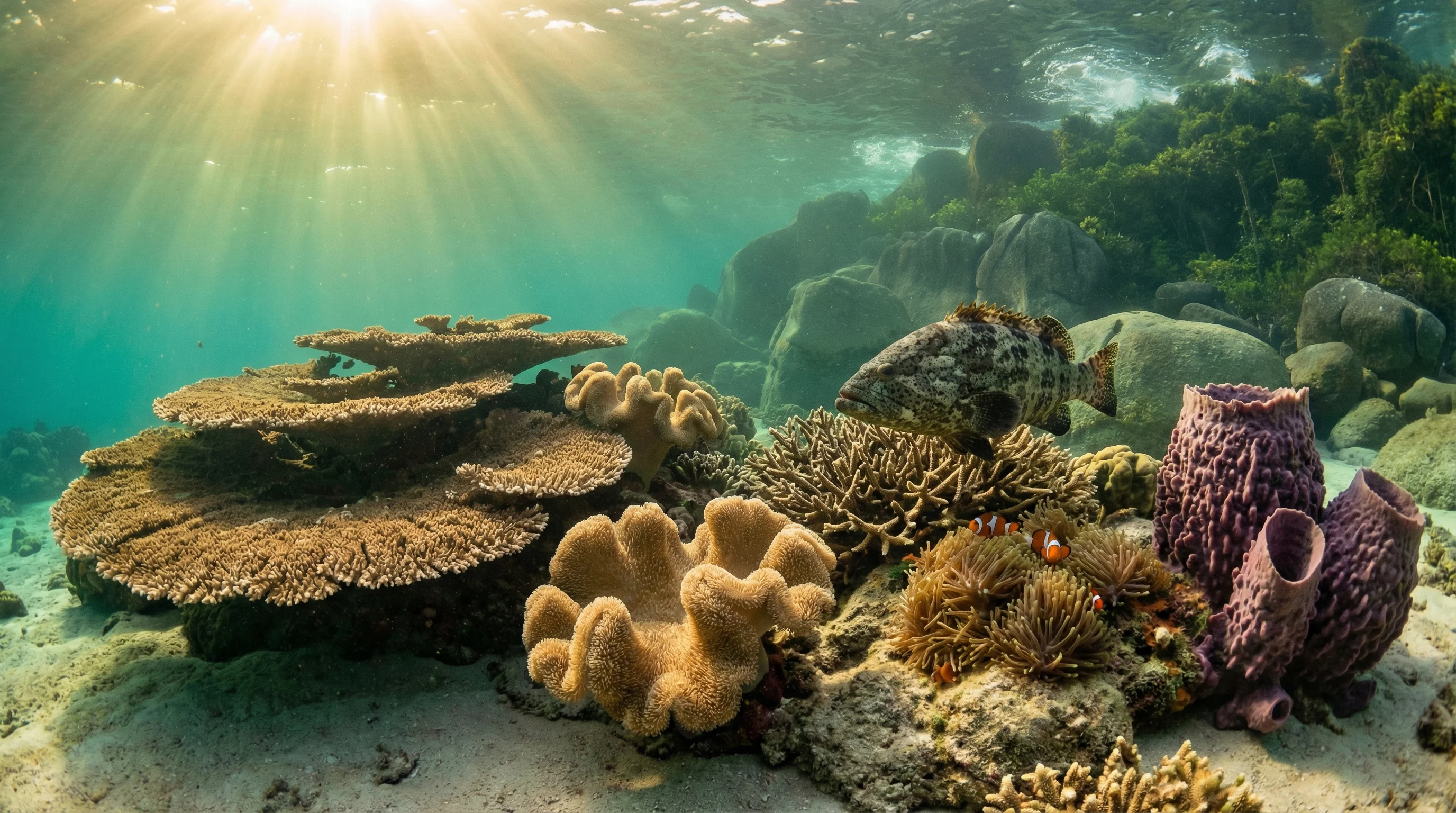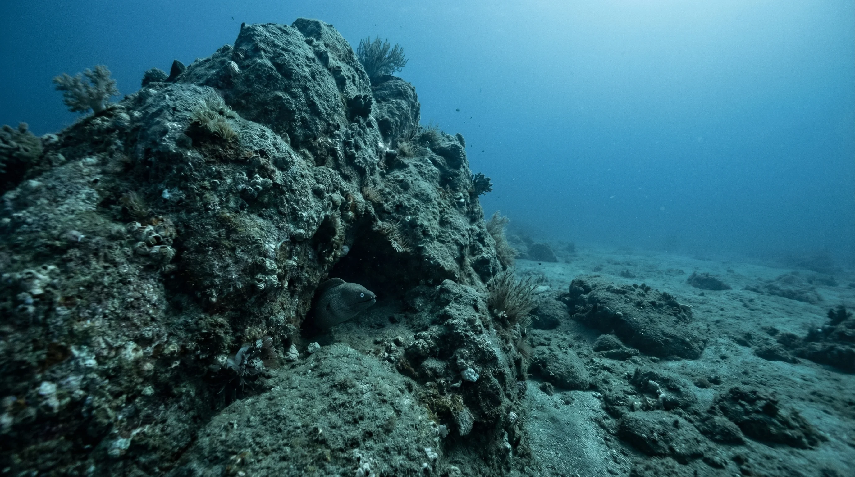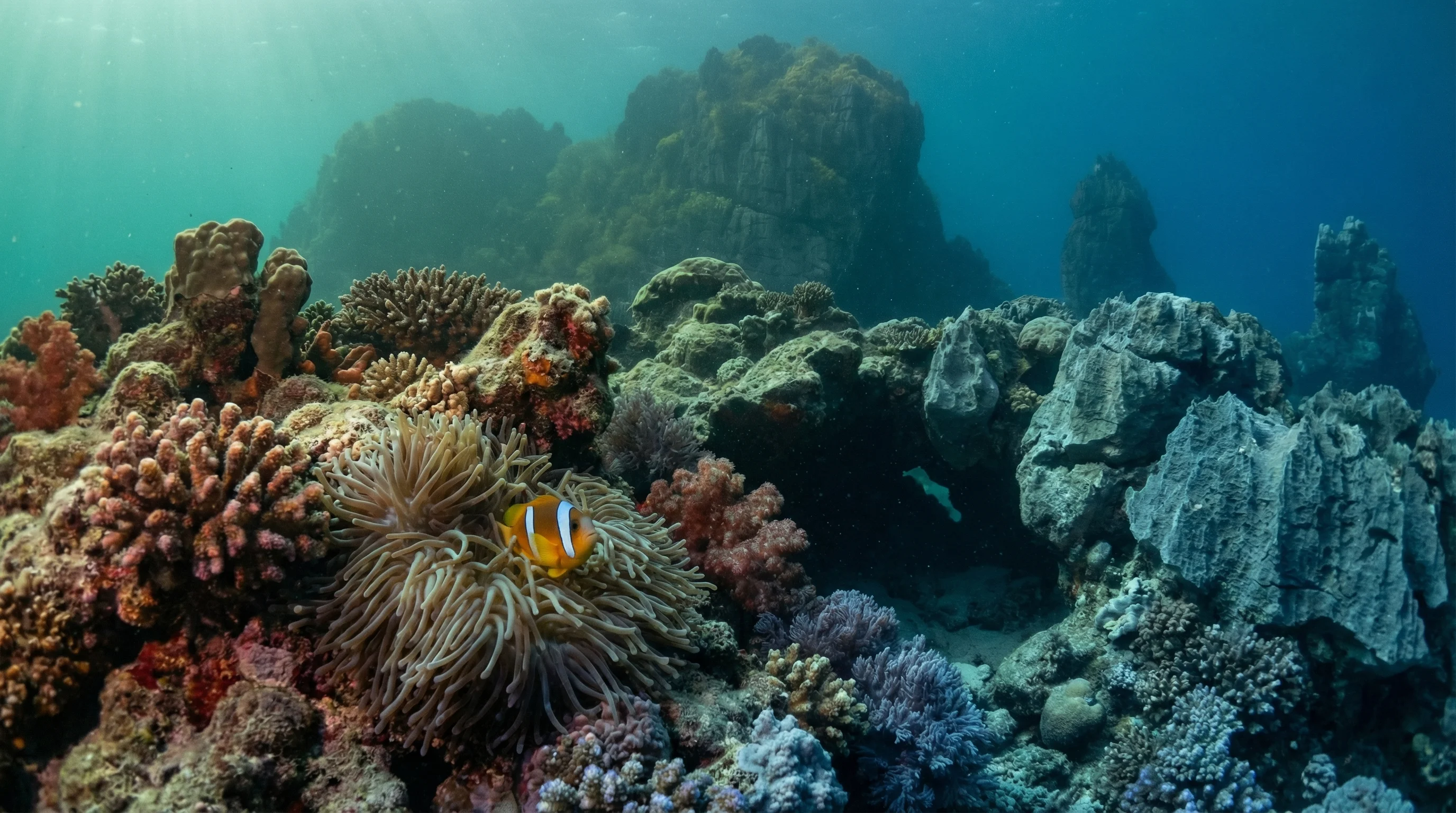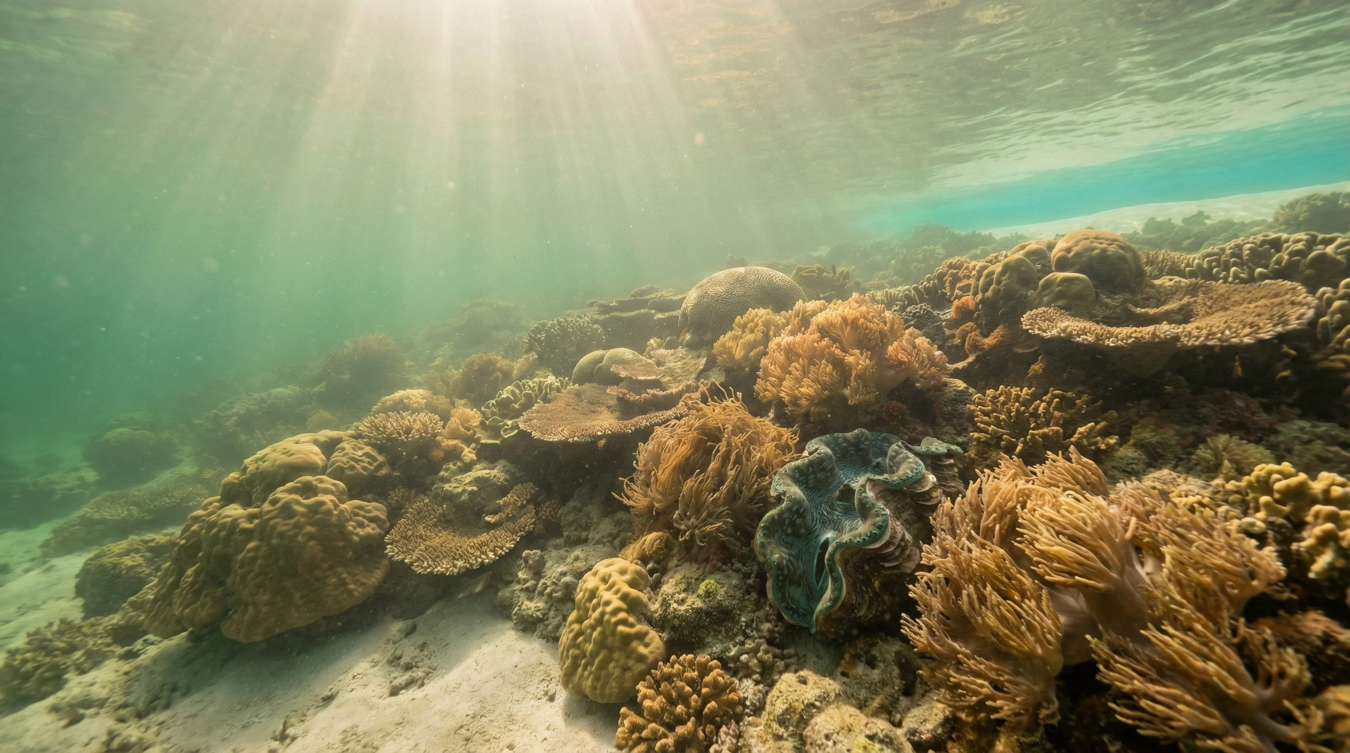
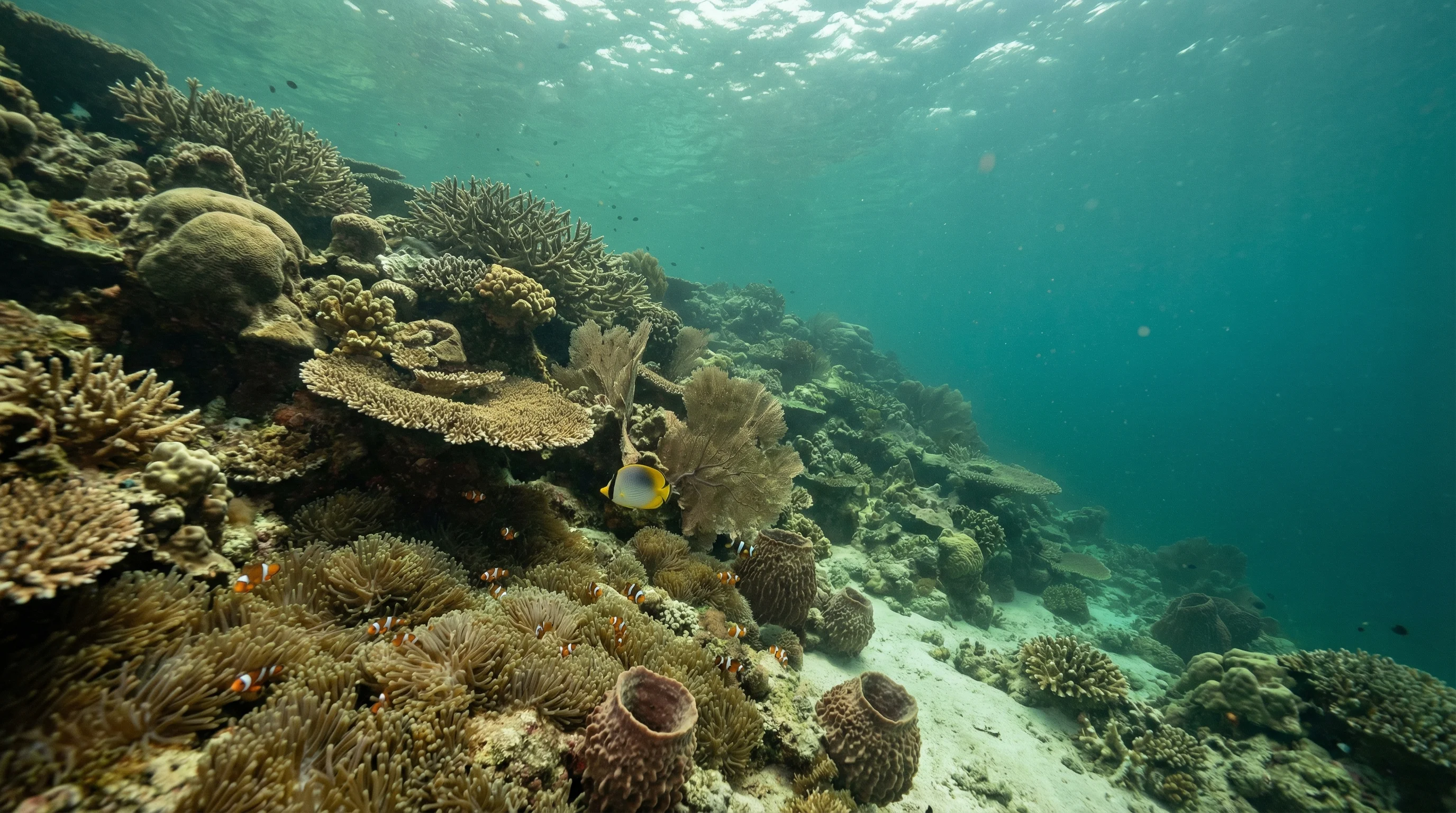
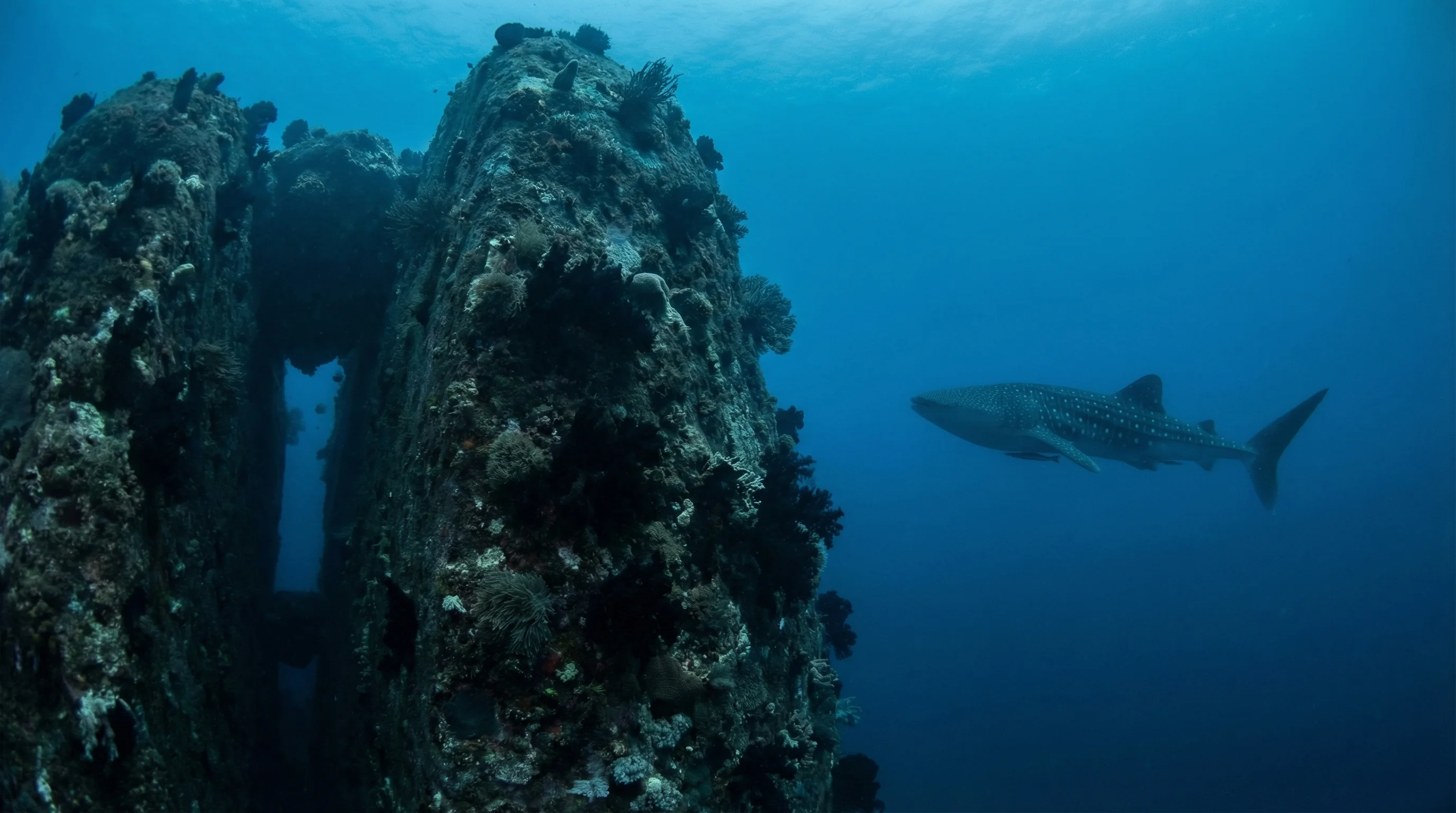
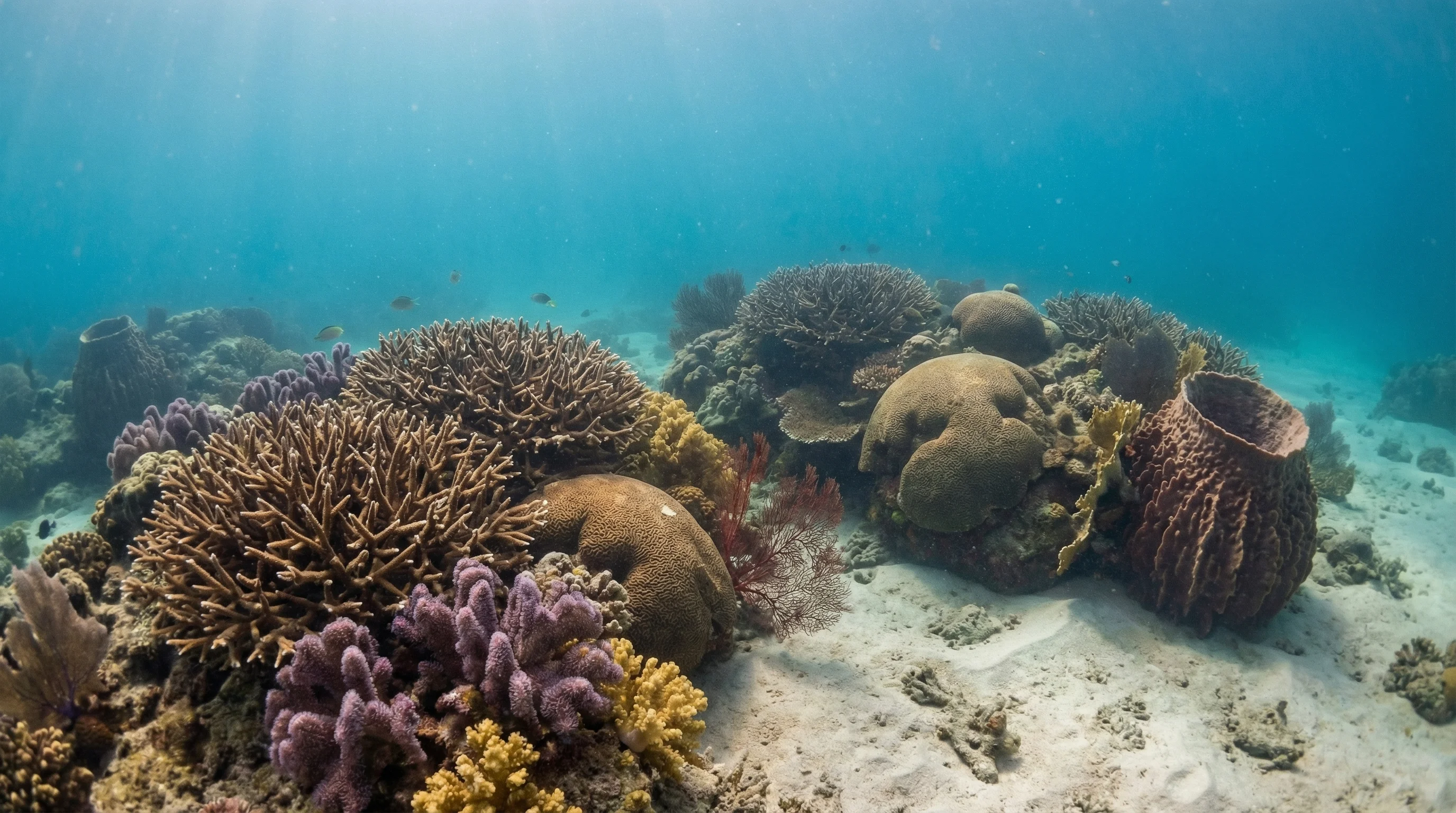
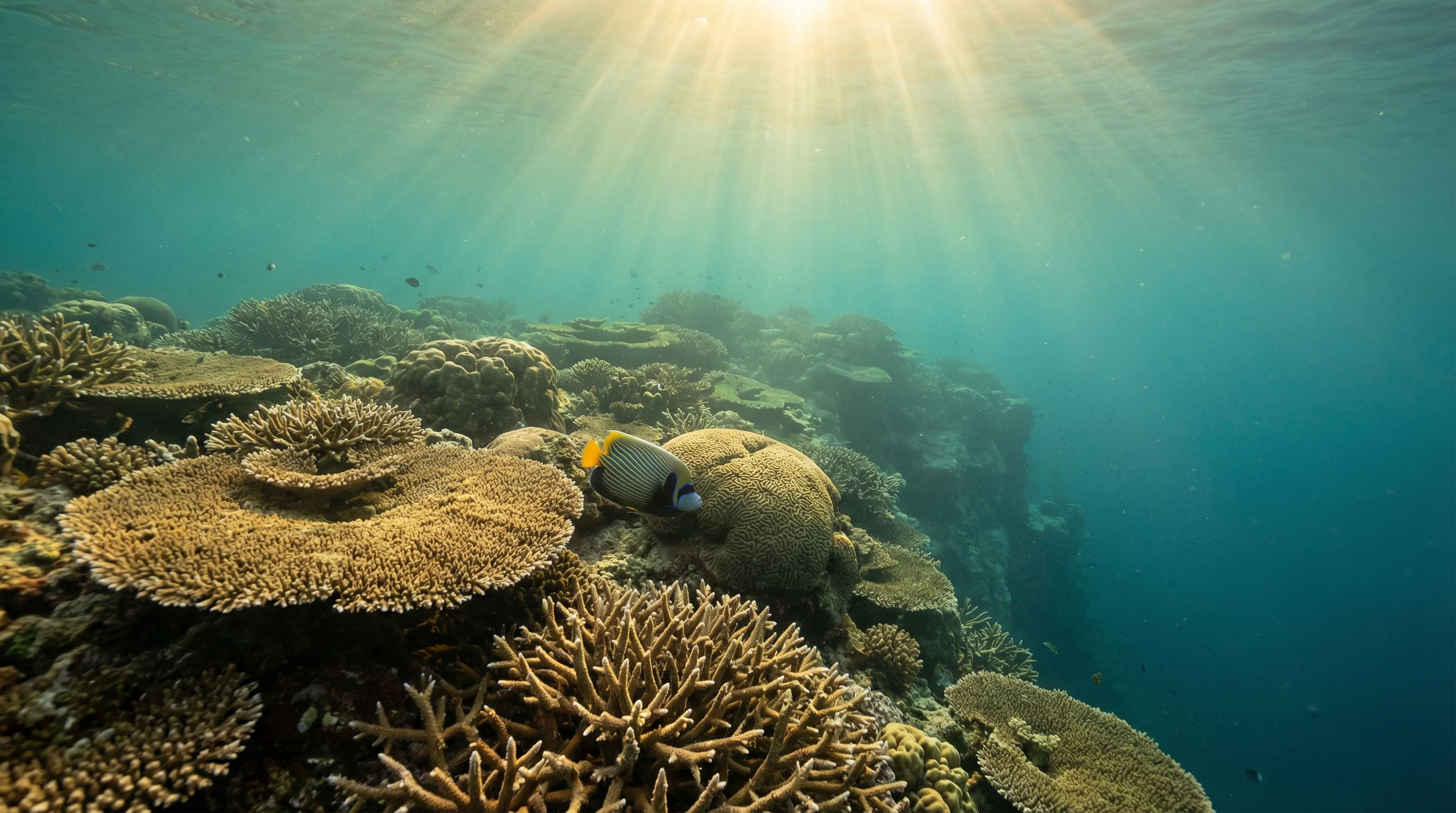
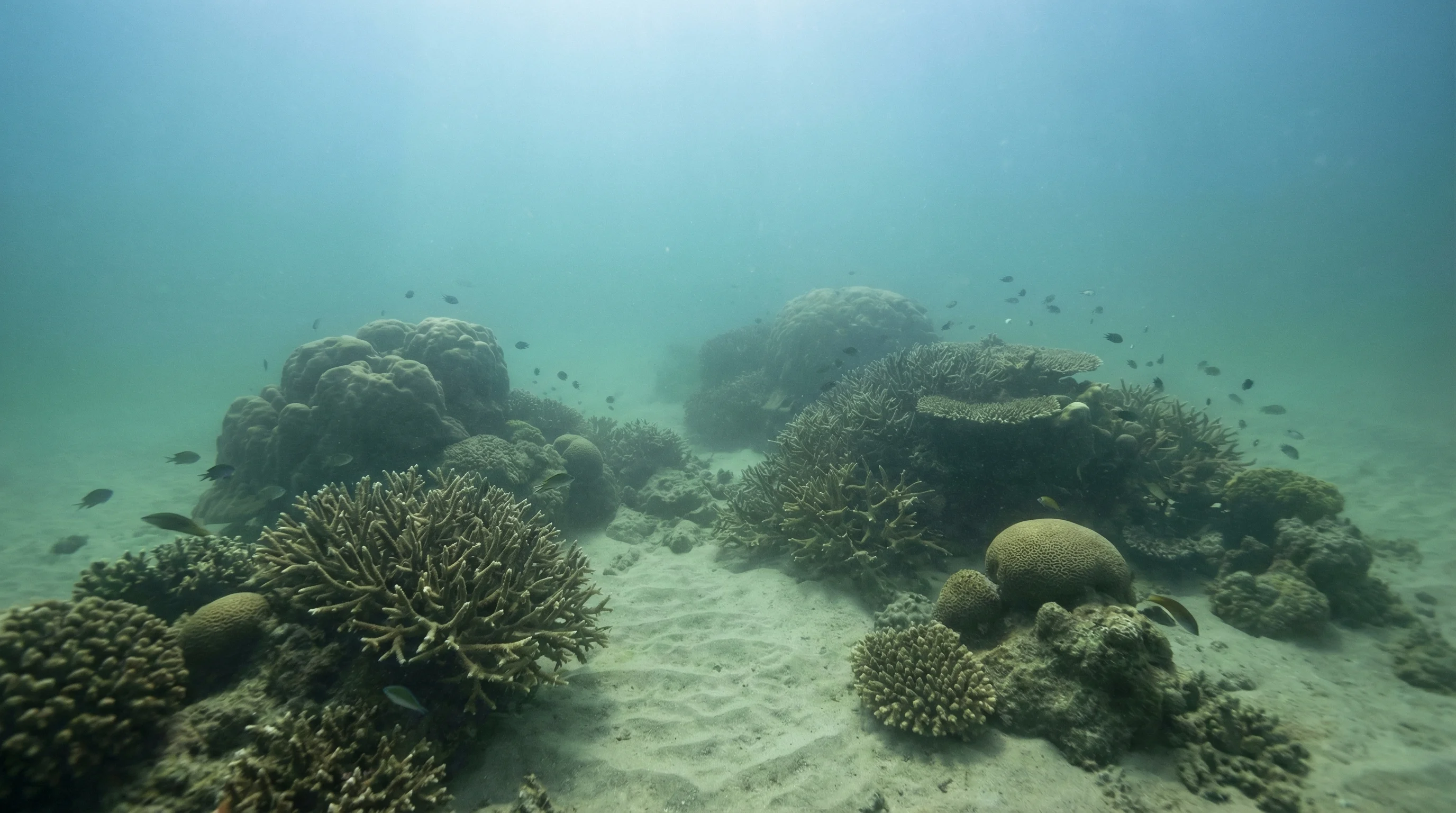
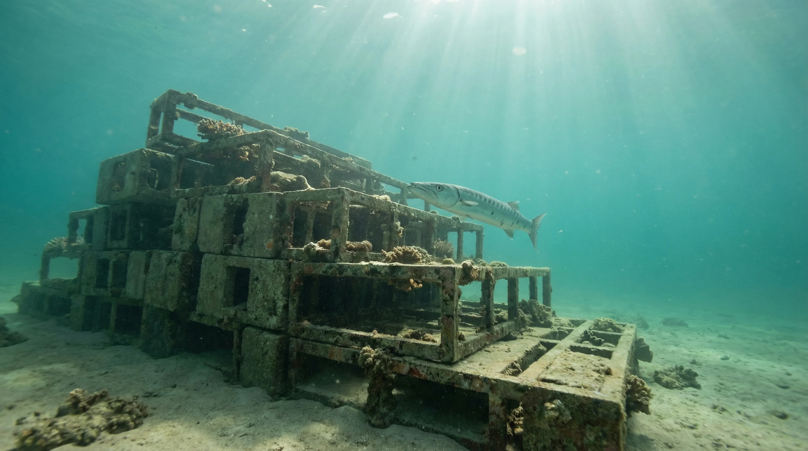
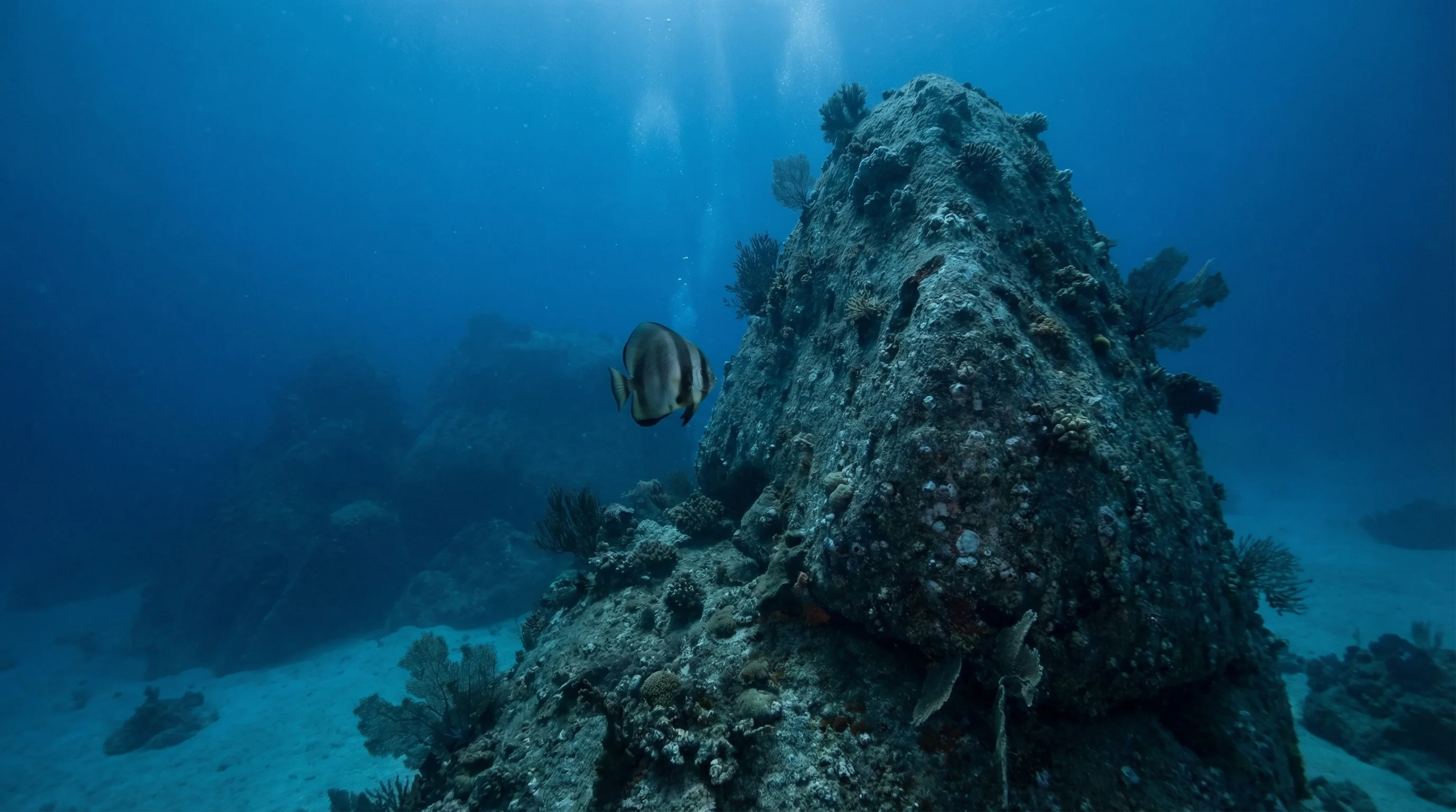
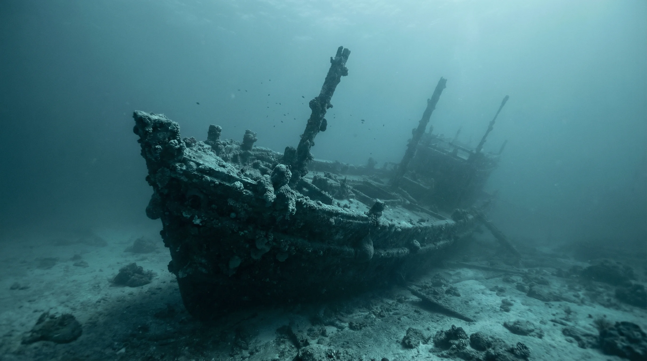
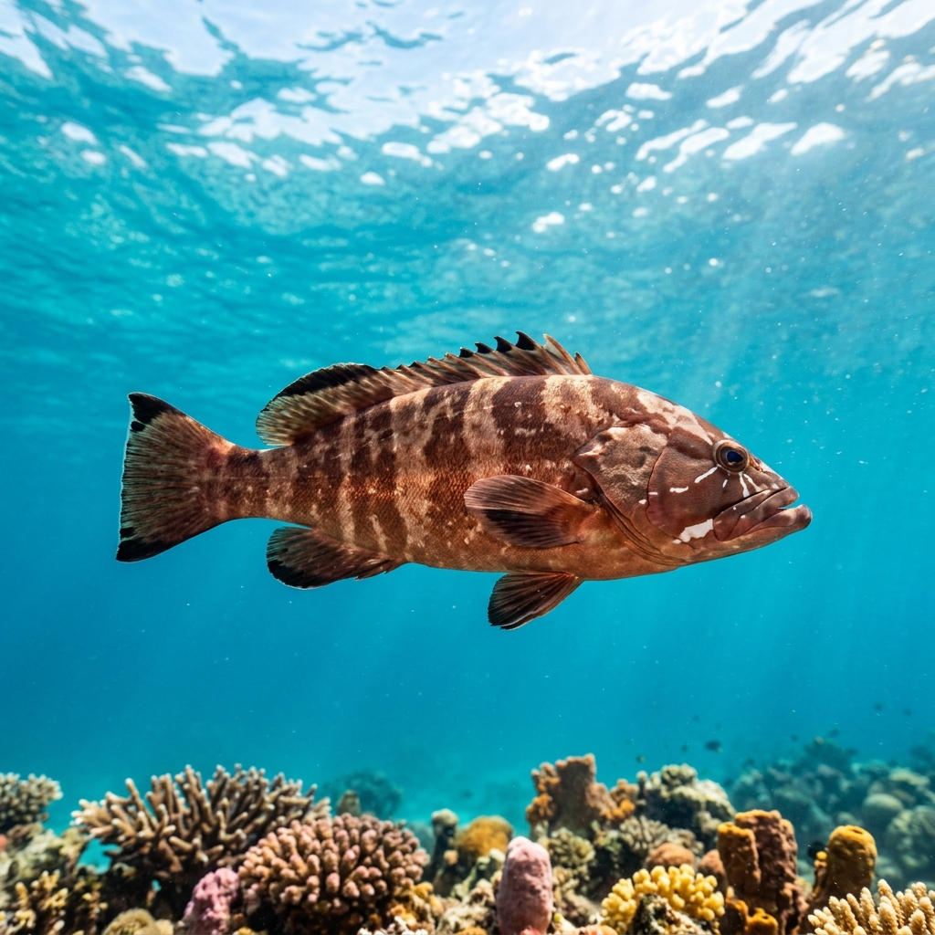
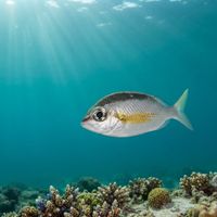
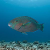
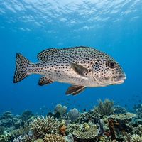
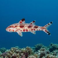
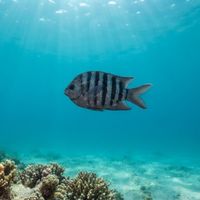
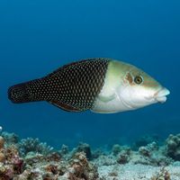
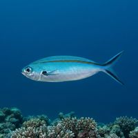
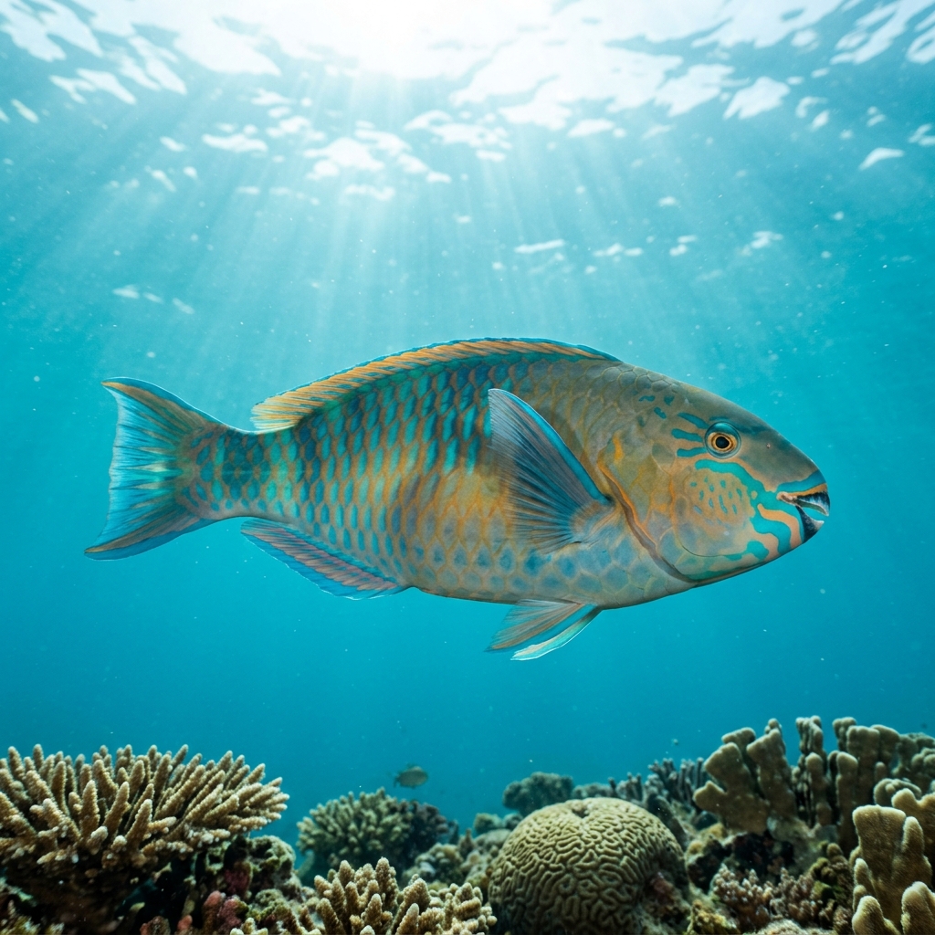
The Sail Rock area sits in the Gulf of Thailand between Koh Pha Ngan and Koh Tao, and its defining feature is the pinnacle of Sail Rock itself, a submerged formation rising from around forty metres to near the surface. The area covers eight sites including shore reefs, artificial structures, and open-water pinnacles, ranging from very shallow entry points to forty metres. Skill levels spread from beginner-friendly shore dives to intermediate and advanced drift and pinnacle dives. Whale sharks and green sea turtles are recorded species in the area, along with trevally, batfish, parrotfish, groupers, and wrasses. Visibility varies considerably, with the clearest conditions reported in spring.
Monthly water temperature across Sail Rock's sites, from satellite sea-surface data corrected for depth. The band shows the site-to-site spread.
Water temperature peaks in late spring and remains warm through the wet season months. March to May is widely cited as the period of peak visibility and the best window for whale shark encounters at the pinnacle sites.
30 operators
Water temperature around Sail Rock ranges from about 28°C in January to 31°C in April, based on satellite sea-temperature data for its dive sites.
With water around 28–31°C, a rash guard or 3mm shorty works in Sail Rock year-round.
Fin maps 8 sites in Sail Rock (8 scuba diving sites and 4 snorkelling spots, with some suited to both).
2 more sites to explore