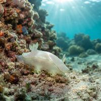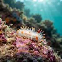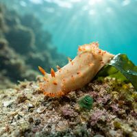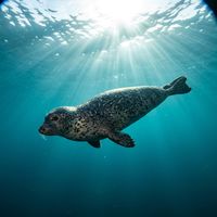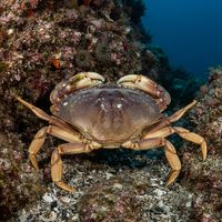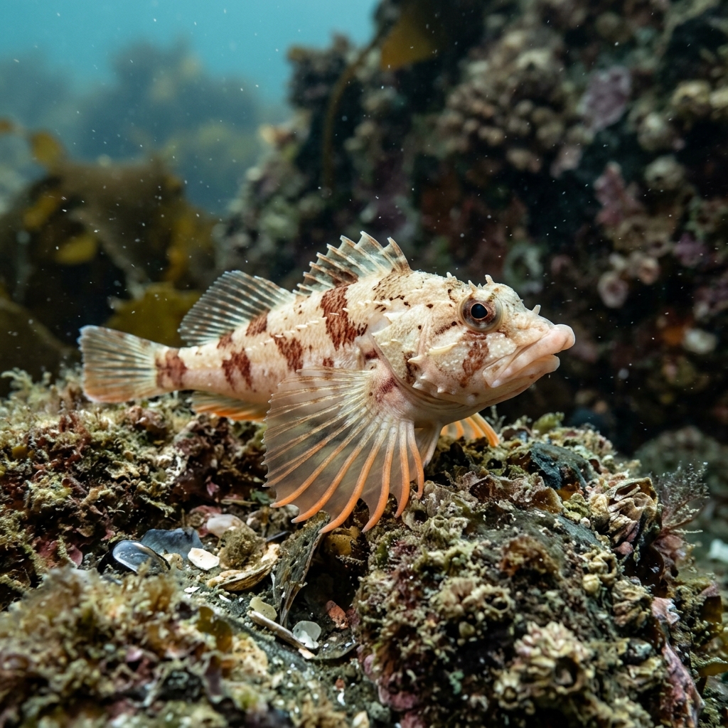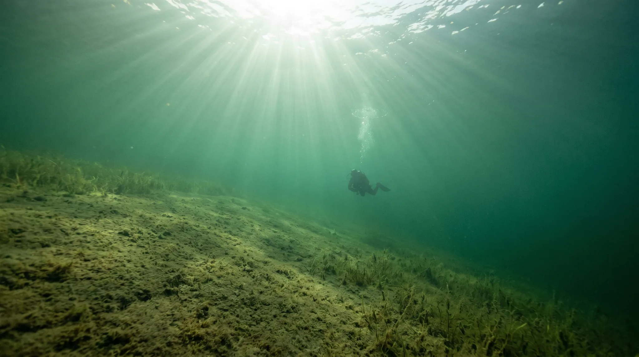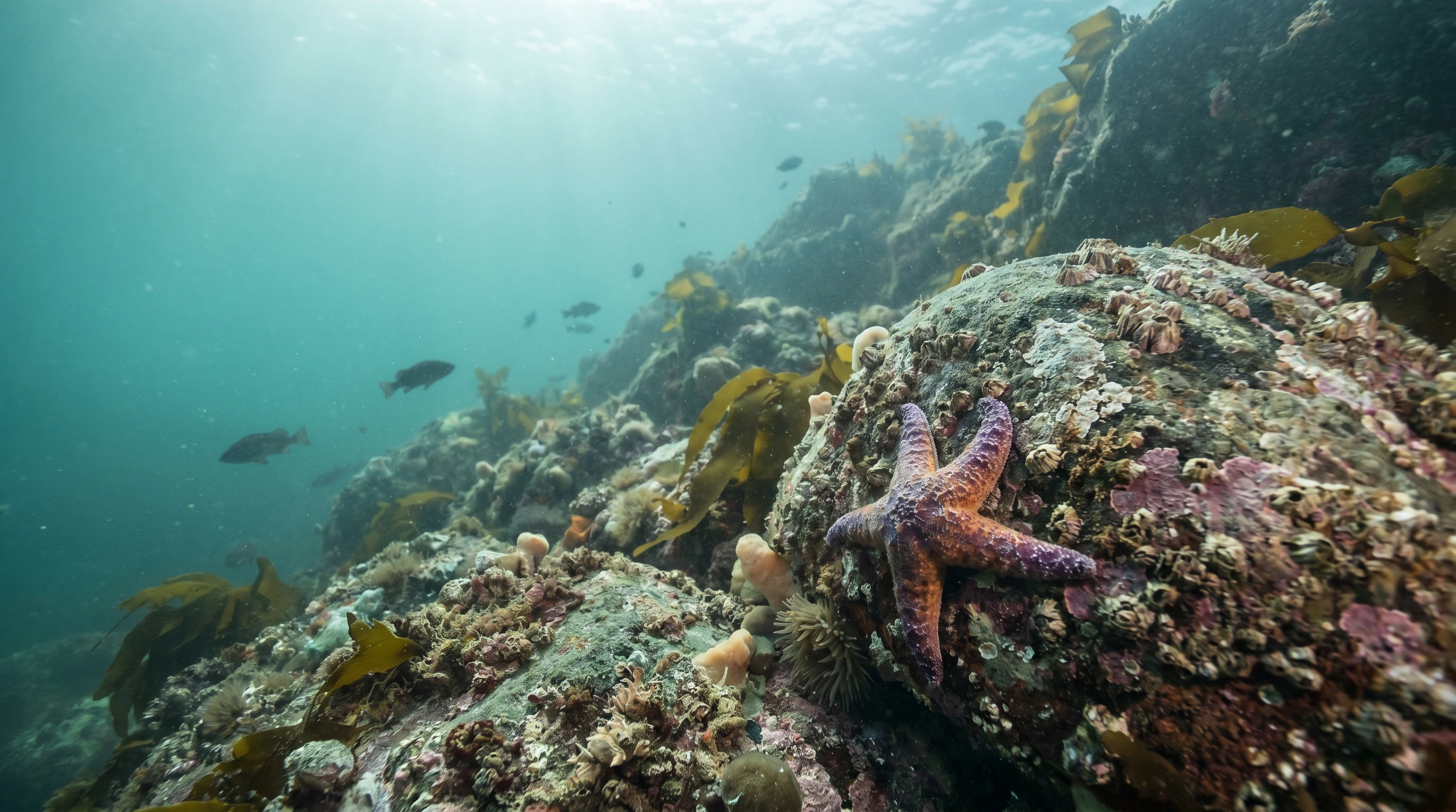
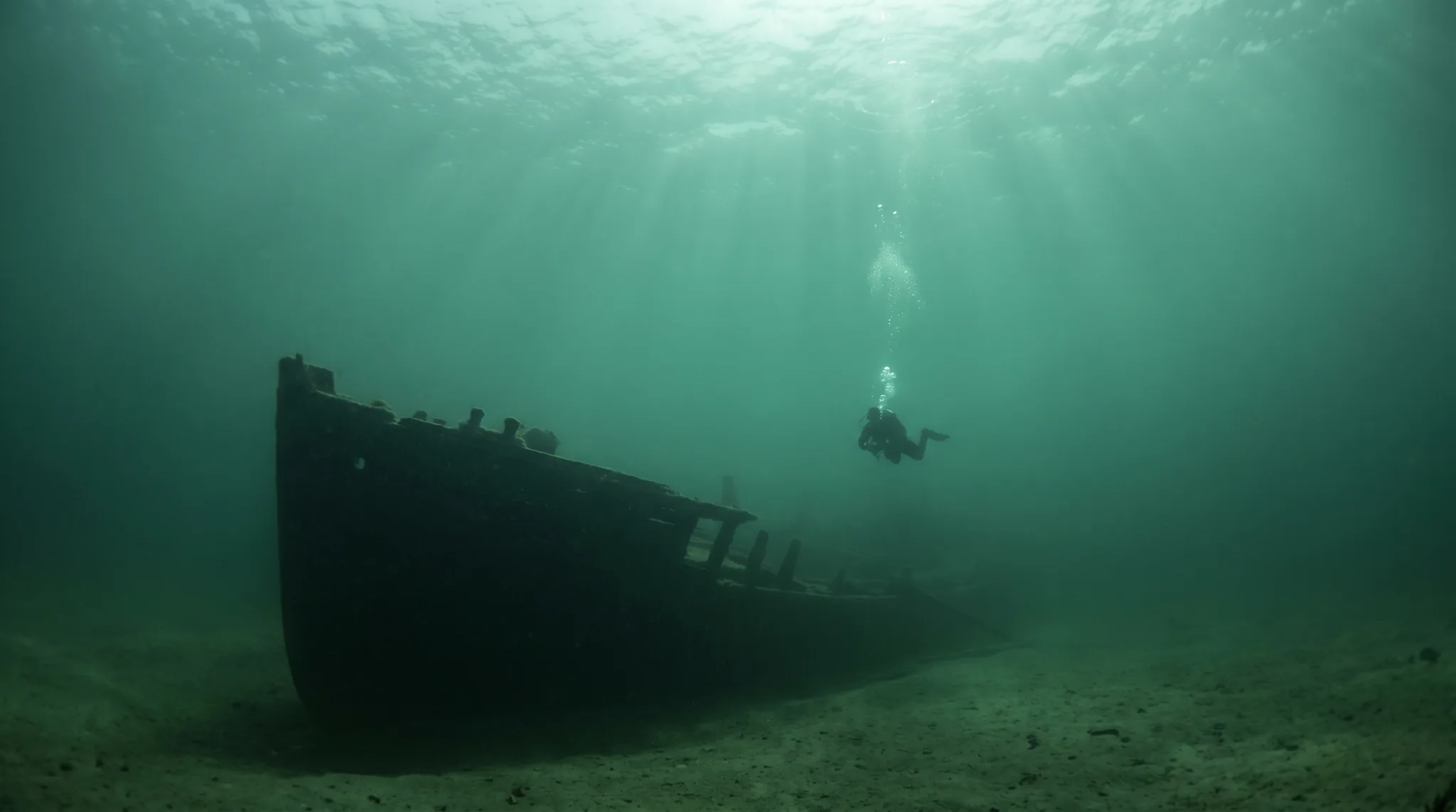
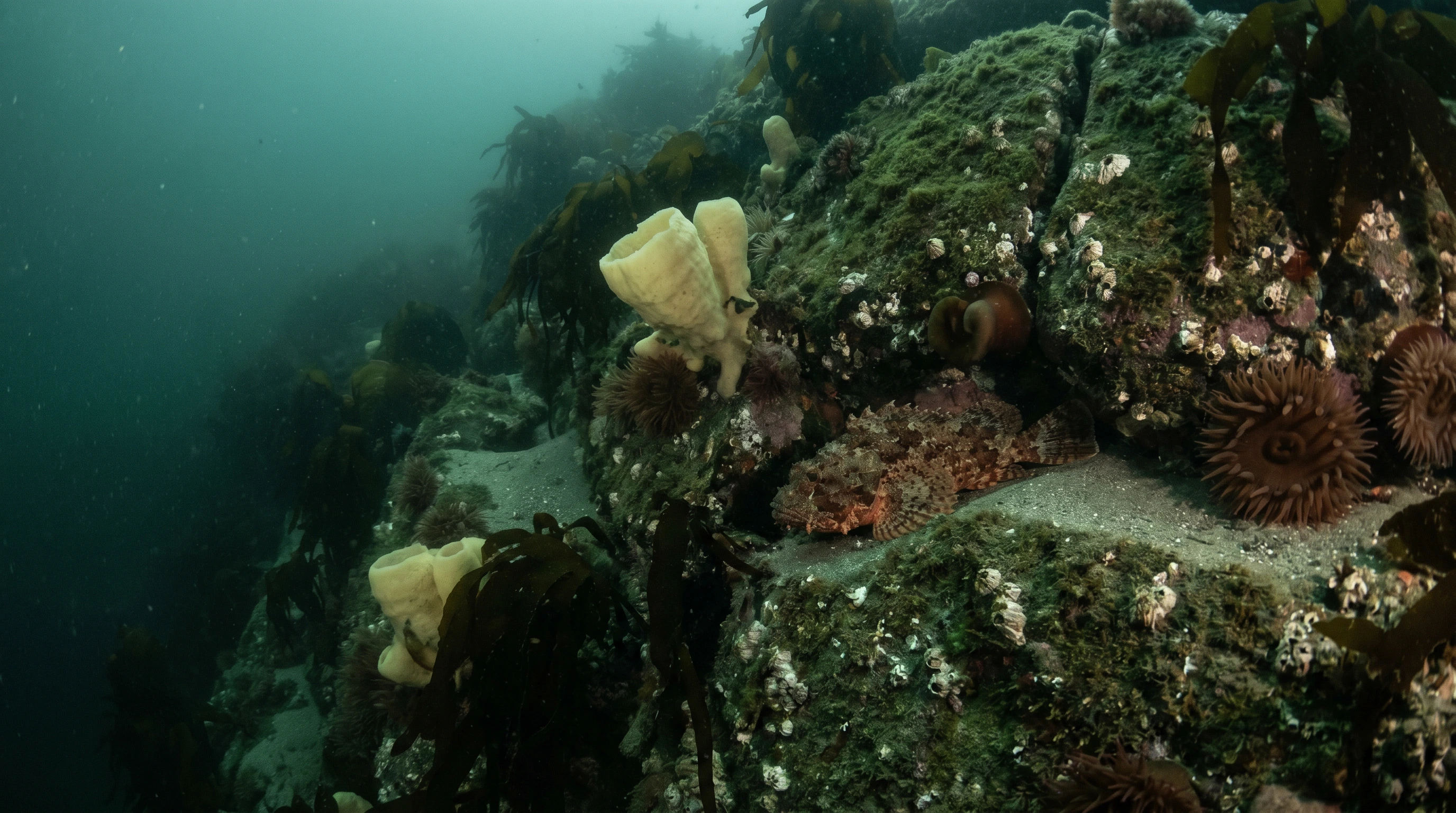
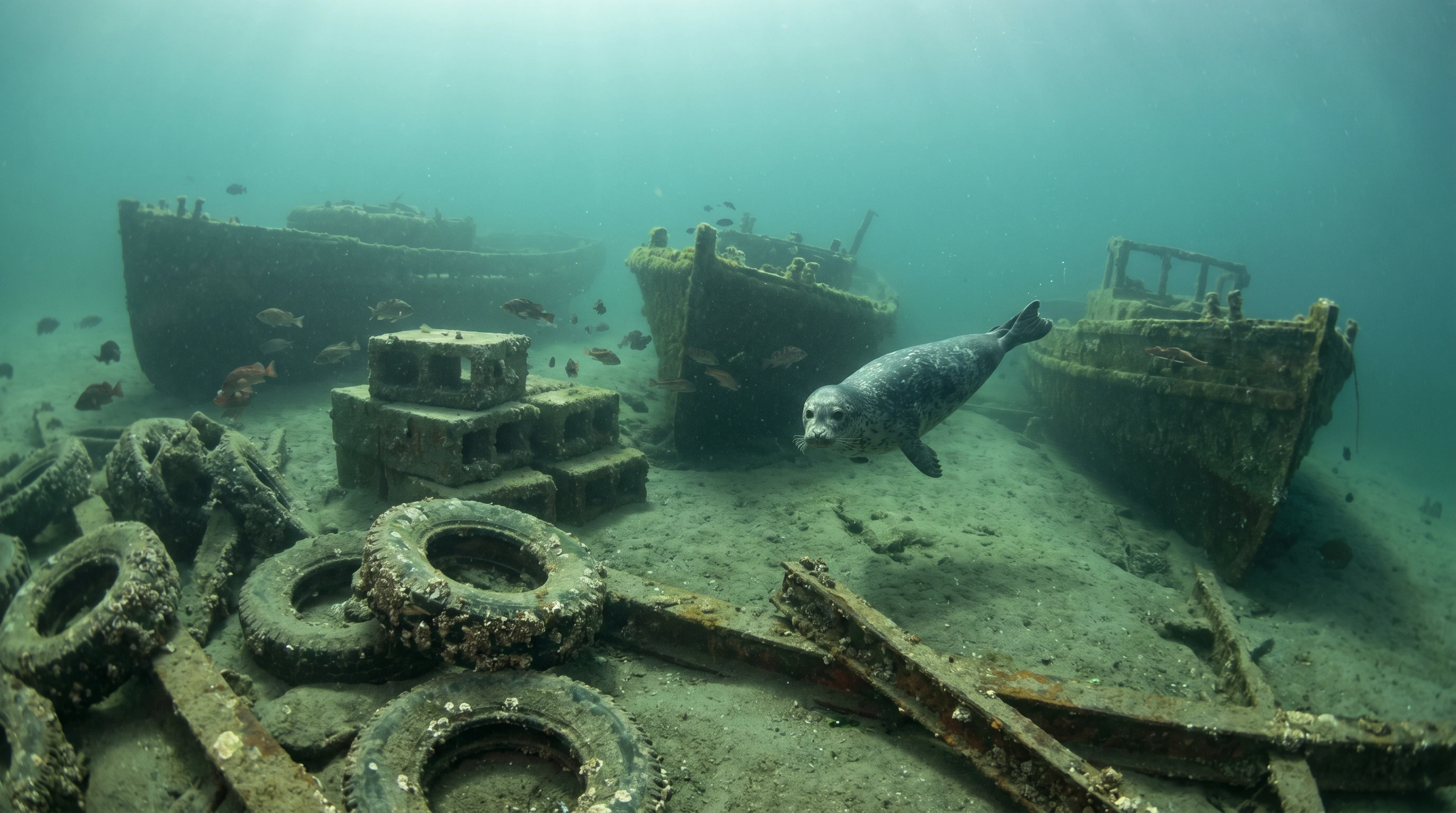
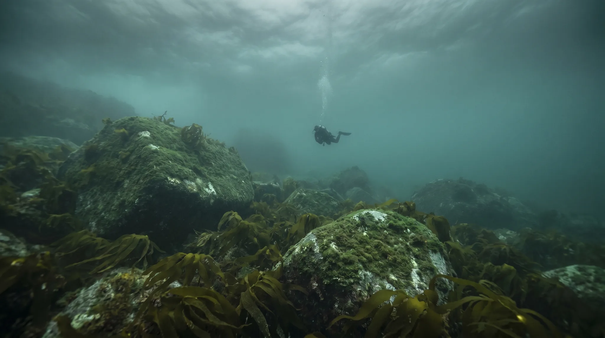
Gambier and Bowyer Islands lie within Howe Sound, a fjord-indented inlet of the Pacific Ocean north of Vancouver. Water is cool year-round, coldest in winter and warming modestly through summer. The area holds a mix of reef, wall, and wreck sites, including several decommissioned vessels sunk as artificial reefs, alongside natural walls and current-swept reefs. Nudibranchs are a notable draw, with several species recorded, alongside harbour seals, kelp greenlings, Puget Sound king crabs, and pile perch. Visibility is often better from autumn through spring when plankton levels drop, and tidal currents are a factor to plan around.
1 areas
Monthly water temperature across Gambier and Bowyer Islands's sites, from satellite sea-surface data corrected for depth. The band shows the site-to-site spread.
Water is cool throughout the year, at its coldest in winter and warmest in midsummer. Visibility tends to improve from autumn into early spring as plankton blooms subside, and dives should be timed around slack water to manage tidal currents.
6 operators

Bowen Island, Canada
Canada
Water temperature around Gambier and Bowyer Islands ranges from about 7°C in January to 18°C in July, based on satellite sea-temperature data for its dive sites.
In the warm season (about 18°C) a 5mm suit is comfortable in Gambier and Bowyer Islands; in the coldest months (about 7°C) step up to a drysuit.
Fin maps 7 sites in Gambier and Bowyer Islands (7 scuba diving sites and 2 snorkelling spots, with some suited to both).
3 more sites to explore